Alberta has provincial legislation allowing its municipalities to conduct municipal censuses between April 1 and June 30 inclusive. Municipalities choose to conduct their own censuses for multiple reasons such as to better inform municipal service planning and provision, to capitalize on per capita based grant funding from higher levels of government, or to simply update their populations since the last federal census.
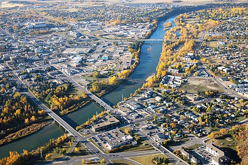
Red Deer's 2015 municipal census confirmed its population exceeded 100,000.
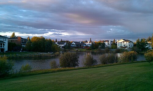
Sherwood Park is an urban service area within Strathcona County.
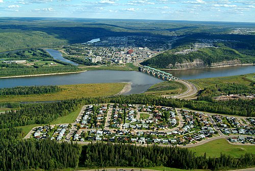
Fort McMurray is the Regional Municipality of Wood Buffalo's urban service area.
Medicine Hat
Videos
Medicine Hat is a city in southeast Alberta, Canada. It is located along the South Saskatchewan River. It is approximately 169 km (105 mi) east of Lethbridge and 295 km (183 mi) southeast of Calgary. This city and the adjacent Town of Redcliff to the northwest are within Cypress County. Medicine Hat was the eighth-largest city in Alberta in 2021 with a population of 63,271. It is also the sunniest place in Canada according to Environment and Climate Change Canada, averaging 2,544 hours of sunshine a year.

Downtown Medicine Hat overlooking the City Hall

Canadian Pacific Railway Station (1906)

Medicine Hat Speedway Derby

Saamis Tepee, installed 1991