Medicine Hat is a city in southeast Alberta, Canada. It is located along the South Saskatchewan River. It is approximately 169 km (105 mi) east of Lethbridge and 295 km (183 mi) southeast of Calgary. This city and the adjacent Town of Redcliff to the northwest are within Cypress County. Medicine Hat was the eighth-largest city in Alberta in 2021 with a population of 63,271. It is also the sunniest place in Canada according to Environment and Climate Change Canada, averaging 2,544 hours of sunshine a year.
Downtown Medicine Hat overlooking the City Hall
Canadian Pacific Railway Station (1906)
Medicine Hat Speedway Derby
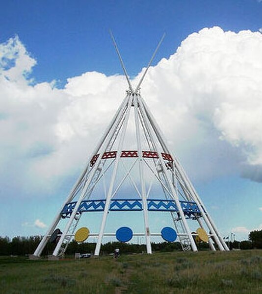
Saamis Tepee, installed 1991
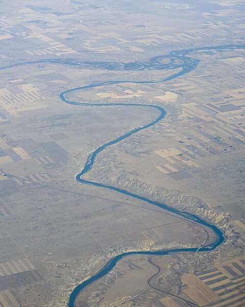
The South Saskatchewan River is a major river in the Canadian provinces of Alberta and Saskatchewan. The river begins at the confluence of the Bow and Oldman Rivers in southern Alberta and ends at the Saskatchewan River Forks in central Saskatchewan. The Saskatchewan River Forks is the confluence of the South and North Saskatchewan Rivers and is the beginning of the Saskatchewan River.
The University Bridge over the South Saskatchewan River at Saskatoon
Highway 15 bridge near Outlook, Saskatchewan.
The South Saskatchewan River at Empress, AB where it receives the Red Deer River


