Aerial survey is a method of collecting geomatics or other imagery by using airplanes, helicopters, UAVs, balloons or other aerial methods. Typical types of data collected include aerial photography, Lidar, remote sensing and also geophysical data (such as aeromagnetic surveys and gravity. It can also refer to the chart or map made by analysing a region from the air. Aerial survey should be distinguished from satellite imagery technologies because of its better resolution, quality and atmospheric conditions. Today, aerial survey is sometimes recognized as a synonym for aerophotogrammetry, part of photogrammetry where the camera is placed in the air. Measurements on aerial images are provided by photogrammetric technologies and methods.
The InView UAV for use in aerial survey applications.
Aerial view of the Paranal Observatory, created by the non-profit initiative Wings for Science which offers aerial support to public research organisations.
Aerial photography is the taking of photographs from an aircraft or other airborne platforms. When taking motion pictures, it is also known as aerial videography.
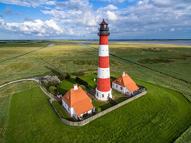
An aerial photograph using a drone of Westerheversand Lighthouse, Germany
Air photo of a military target used to evaluate the effect of bombing
Air photography from flight
Hraunfossar, Iceland captured by a drone-camera