Alberta Provincial Highway No. 2A is the designation of six alternate routes off Highway 2 in Alberta, Canada. In general, these are original sections of Highway 2, such as the southern portion of Macleod Trail in Calgary. They passed through communities before limited-access freeways were built to shorten driving distance, accommodate heavier volumes and to bypass city traffic. Portions of the alignment of Highway 2A follow the route of the former Calgary and Edmonton Trail.
Near De Winton, Highway 2A splits to the southwest, connecting Calgary to Okotoks.
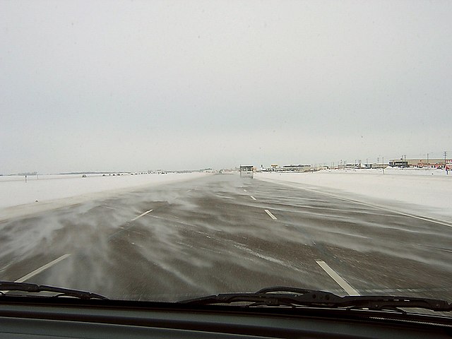
Highway 2A north of Crossfield in the foreground with divided Highway 2 in the distance.
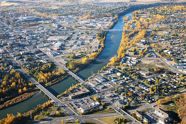
Downtown Red Deer from the air with Highway 2A twin bridges crossing the Red Deer River.
Alberta Provincial Highway No. 2, commonly referred to as Highway 2 or the Queen Elizabeth II Highway, is a major highway in Alberta that stretches from the Canada–United States border through Calgary and Edmonton to Grande Prairie. Running primarily north to south for approximately 1,273 kilometres (791 mi), it is the longest and busiest highway in the province carrying more than 170,000 vehicles per day near Downtown Calgary. The Fort Macleod—Edmonton section forms a portion of the CANAMEX Corridor that links Alaska to Mexico. More than half of Alberta's 4 million residents live in the Calgary–Edmonton Corridor created by Highway 2.
Highway 2 is a lightly travelled divided highway near Claresholm.
Near De Winton, Highway 2A splits to the southwest, connecting Calgary to Okotoks.
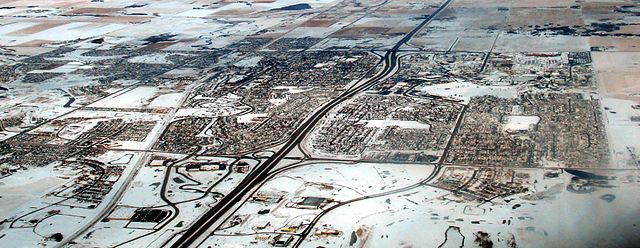
The Queen Elizabeth II Highway bisects Airdrie.
Queen Elizabeth II Highway between Leduc and Edmonton


