Alberta Provincial Highway No. 4, commonly referred to as Highway 4, is a 103-kilometre (64 mi) highway in southern Alberta, Canada that connects Highway 3 in Lethbridge to Interstate 15 in Montana. The highway was designated in 1999 as the First Special Service Force Memorial Highway in honour of elite soldiers who travelled to Helena, Montana for training before World War II. The highway continues into the United States retaining that name.
Northbound Highway 4, 2 km southeast of Lethbridge
A Highway 4 bypass of the town of Milk River was completed in 2009, the final section of the highway to become divided
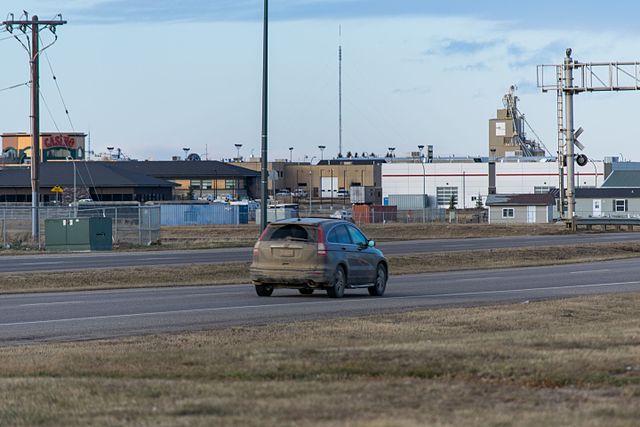
43 Street in south Lethbridge, the busiest section of Highway 4
Alberta Provincial Highway No. 3, commonly referred to as Highway 3 and officially named the Crowsnest Highway, is a 324-kilometre (201 mi) highway that traverses southern Alberta, Canada, running from the Crowsnest Pass through Lethbridge to the Trans-Canada Highway in Medicine Hat. Together with British Columbia Highway 3 which begins in Hope, it forms an interprovincial route that serves as an alternate to the Trans-Canada from the Lower Mainland to the Canadian Prairies.
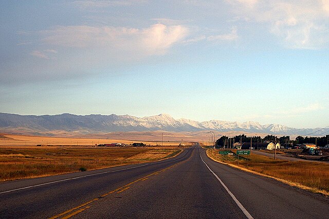
The Crowsnest Highway near Cowley
Looking east on Highway 3 near Lundbreck
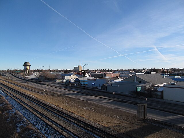
Crowsnest Trail in Lethbridge
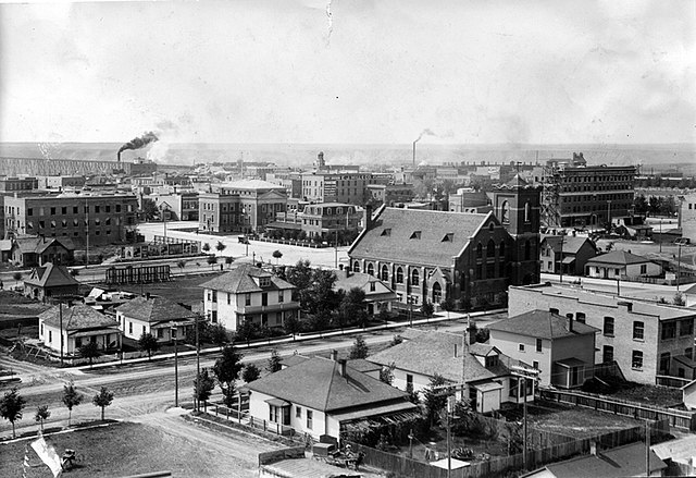
Lethbridge, seen here in 1911, was the hub of southern Alberta and the crossroads of the Red, Yellow, and Sunshine Trails that became Highways 3, 4, and 5, respectively.


