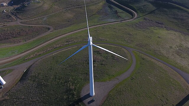
Altamont Pass, formerly Livermore Pass, is a low mountain pass in the Diablo Range of Northern California between Livermore in the Livermore Valley and Tracy in the San Joaquin Valley. The name is actually applied to two distinct but nearby crossings of the range. The lower of the two, at an elevation of 741 ft (226 m), carries two railroad rights-of-way (ROWs) and Altamont Pass Road, part of the old Lincoln Highway and the original alignment of US 50 before it was bypassed in 1937. The bypass route travels over the higher summit, at 1,009 ft (308 m), and now carries Interstate 580, a major regional highway heavily congested by Central Valley suburbanization.
Wind turbines at Altamont Pass near Livermore, California
View from westbound I-580 of Altamont Pass.
New wind turbine at the Altamont Pass Wind Farm
Older wind turbines, part of the Altamont Pass Wind Farm.
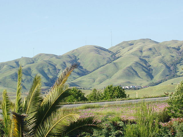
The Diablo Range is a mountain range in the California Coast Ranges subdivision of the Pacific Coast Ranges in northern California, United States. It stretches from the eastern San Francisco Bay Area at its northern end to the Salinas Valley area at its southern end.
Mount Hamilton
View of Mt. Diablo from Concord. Main peak at right, North Peak at left, Mt. Zion at center (scroll image L/R to view)
The south edge (mostly Monument Peak) of the Mission Ridge as seen from Milpitas.
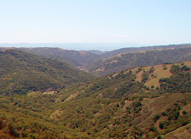
The southern end of Henry W. Coe State Park, near Gilroy