Alwar is a district in the state of Rajasthan in northern India, whose district headquarters is Alwar city. The district covers 8,337 km2. It is bound on the north by Rewari district of Haryana, on the east by Bharatpur district of Rajasthan and Nuh district of Haryana, on the south by Dausa district, and on the west by Jaipur district.
Image: Alwar fort or Bala Quila 07
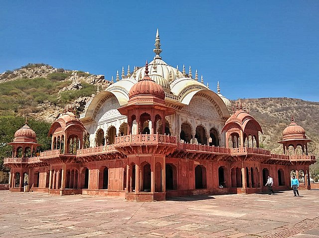
Image: Moosi Maharani ki Chattri City Palace, Alwar
Image: Bhangarh Fort Royal Palace Bhangarh (July 2022) img 04
Image: Shiv Mandir, Neelkanth
Rajasthan is a state in northwestern India. It covers 342,239 square kilometres (132,139 sq mi) or 10.4 per cent of India's total geographical area. It is the largest Indian state by area and the seventh largest by population. It is on India's northwestern side, where it comprises most of the wide and inhospitable Thar Desert and shares a border with the Pakistani provinces of Punjab to the northwest and Sindh to the west, along the Sutlej-Indus River valley. It is bordered by five other Indian states: Punjab to the north; Haryana and Uttar Pradesh to the northeast; Madhya Pradesh to the southeast; and Gujarat to the southwest. Its geographical location is 23°.3' to 30°.12' North latitude and 69°.30' to 78°.17' East longitude, with the Tropic of Cancer passing through its southernmost tip.
Image: Thar Khuri
Image: Jodhpur mehrangarh fort (enhanced)
Image: Udaipur Stadtpalast 42 vom Picholasee 2018 gje
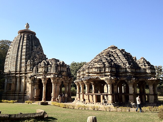
Image: Baroli temple