Amapá
Videos
Amapá ( ) is one of the 26 states of Brazil. It is in the North Region of Brazil. It is the second-least populous state and the eighteenth-largest state by area. Located in the far northern part of the country, Amapá is bordered clockwise by French Guiana to the north for 730 km, the Atlantic Ocean to the east for 578 km, Pará to the south and west, and Suriname to the northwest for 63 km. The capital and largest city is Macapá. The state has 0.4% of the Brazilian population and is responsible for only 0.22% of the Brazilian GDP.

São José de Macapá
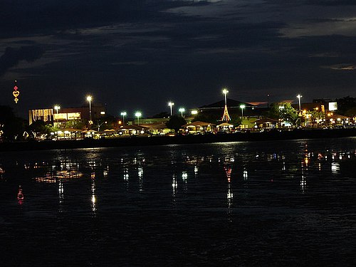
Image: Noite em Macapá AP
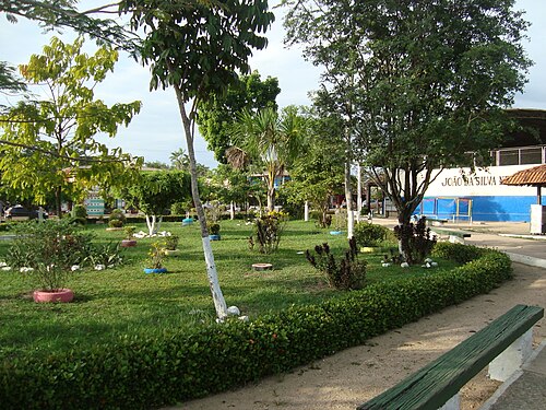
Image: Parque Laranjal do Jari

Image: Oiapoque 2
Amapá Biodiversity Corridor
Videos
The Amapá Biodiversity Corridor is an ecological corridor in the state of Amapá, Brazil. It provides a degree of integrated management for conservation units and other areas covering over 70% of the state.

Waterfalls in the Jari River