Arrow Lakes
Videos
The Arrow Lakes in British Columbia, Canada, divided into Upper Arrow Lake and Lower Arrow Lake, are widenings of the Columbia River. The lakes are situated between the Selkirk Mountains to the east and the Monashee Mountains to the west. Beachland is fairly rare, and is interspersed with rocky headlands and steep cliffs. Mountain sides are heavily forested, and rise sharply to elevations around 2,600 metres.
Upper Arrow Lake, south of Nakusp

Upper Arrow Lake, British Columbia
Free Ferry departs Galena Bay for Shelter Bay
Image: Upper Arrow lakes 1
Revelstoke, British Columbia
Videos
Revelstoke is a city in southeastern British Columbia, Canada, with a census population of 8,275 in 2021. Revelstoke is located 641 kilometres (398 mi) east of Vancouver, and 415 kilometres (258 mi) west of Calgary, Alberta. The city is situated on the banks of the Columbia River just south of the Revelstoke Dam and near its confluence with the Illecillewaet River. East of Revelstoke are the Selkirk Mountains and Glacier National Park, penetrated by Rogers Pass used by the Trans-Canada Highway and the Canadian Pacific Railway. South of the community down the Columbia River are the Arrow Lakes, Mount Begbie, and the Kootenays. West of the city is Eagle Pass through the Monashee Mountains and the route to Shuswap Lake.
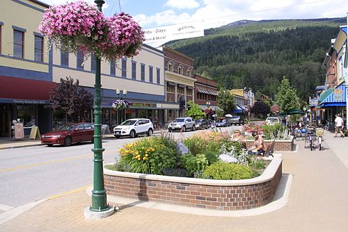
Mackenzie Avenue

Railway station, 1915

Revelstoke from Mount Revelstoke National Park

Revelstoke Freeride World Tour