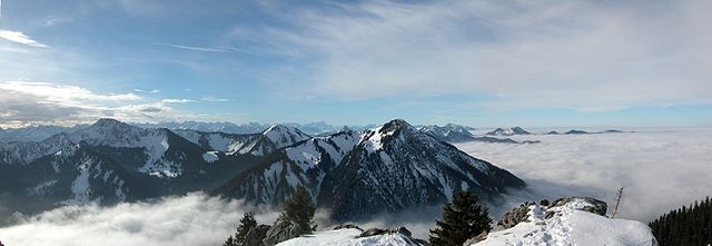
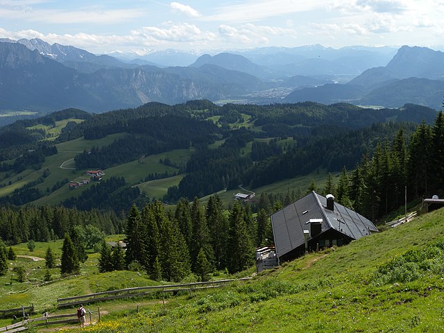
The Bavarian Alps is a collective name for several mountain ranges of the Northern Limestone Alps within the German state of Bavaria.
View of the Mangfall Mountains from Bodenschneid looking west to the Wallberg
Bavarian Alps, view from Murnau
View from the Jenner over the Königssee to Watzmann massif.
Zugspitze Massif with the Zugspitze peak (left), the highest mountain in Germany (seen from the Fern Pass in Austria, looking northeast)
Bavaria, officially the Free State of Bavaria, is a state in the southeast of Germany. With an area of 70,550.19 km2 (27,239.58 sq mi), it is the largest German state by land area, comprising roughly a fifth of the total land area of Germany. With over 13 million inhabitants, it is the second most populous German state behind North Rhine-Westphalia, but due to its large physical size its population density is below the German average. Major cities include Munich, Nuremberg, and Augsburg.
A memorial to soldiers who died in World War I and World War II in Kröning, Bavaria
The Bavarian Alps (foreground) and Tyrol in Austria (background), including the Inn valley (center), Kaisergebirge (left), Pendling (right), and the snow-capped High Tauern (center left)
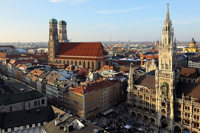
Munich with Frauenkirche (left) and Rathaus, Munich's town hall
The Bavarian State Chancellery in Munich


