Benicia State Recreation Area
Benicia State Recreation Area is a state park unit of California, United States, protecting tidal wetland. It is located in the Solano County city of Benicia, 2 miles (3.2 km) west of downtown Benicia and borders Vallejo's Glen Cove neighborhood. The park covers 447 acres (181 ha) of marsh, grassy hillsides and rocky beaches along the narrowest portion of the Carquinez Strait. Southampton Creek and the tidal marsh front Southampton Bay, where the combined waters of the Sacramento and San Joaquin Rivers approach San Pablo Bay, the northern portion of San Francisco Bay.
Beaver lodge on Southampton Creek
Great blue heron at Dillon Point, Benicia SRA 2009
A view from the B. S. R. A. toward Mount Diablo
A view from the B. S. R. A.
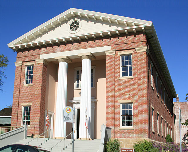
Benicia is a city in Solano County, California, located on the north bank of the Carquinez Strait in the North Bay region of the San Francisco Bay Area. It served as the capital of California for nearly thirteen months from 1853 to 1854. The population was 27,131 at the 2020 United States Census. Benicia is just east of Vallejo and across the strait from Martinez.
Image: CA Benicia Capitol 0152
Image: Portuguese Hall of Benicia (cropped) (cropped)
Image: Benicia, CA USA panoramio (13) (cropped)
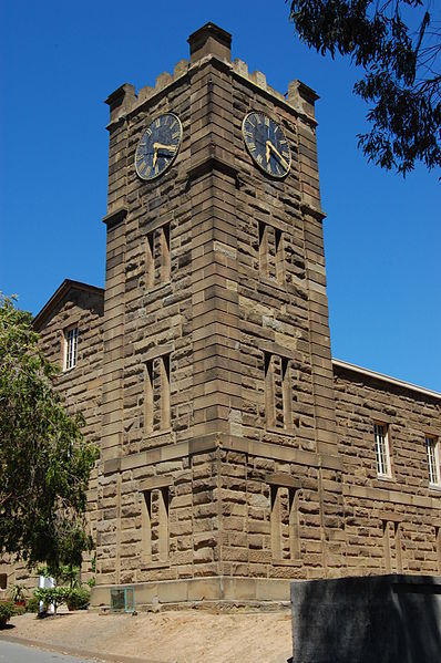
Image: USA Benicia Clock Tower 14