Black Canyon of the Gunnison National Park
Black Canyon of the Gunnison National Park is an American national park located in western Colorado and managed by the National Park Service. There are two primary entrances to the park: the south rim entrance is located 15 miles (24 km) east of Montrose, while the north rim entrance is 11 miles (18 km) south of Crawford and is closed in the winter. The park contains 12 miles (19 km) of the 48-mile-long (77 km) Black Canyon of the Gunnison River. The national park itself contains the deepest and most dramatic section of the canyon, but the canyon continues upstream into Curecanti National Recreation Area and downstream into Gunnison Gorge National Conservation Area. The canyon's name owes itself to the fact that parts of the gorge only receive 33 minutes of sunlight a day, according to Images of America: The Black Canyon of the Gunnison. In the book, author Duane Vandenbusche states, "Several canyons of the American West are longer and some are deeper, but none combines the depth, sheerness, narrowness, darkness, and dread of the Black Canyon."

Gunnison River at the base of Black Canyon of the Gunnison
Black Canyon of the Gunnison
Overview Black Canyon with Gunnison River
Painted Wall—the tallest sheer cliff in Colorado at 2,250 feet (690 m). Lighter-colored pegmatite dikes are clearly visible.
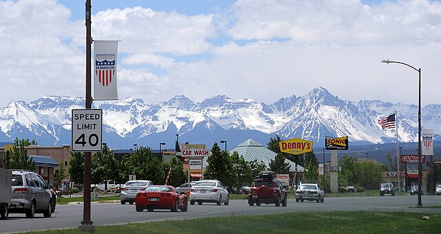
Montrose is a home rule municipality that is the county seat and the most populous municipality of Montrose County, Colorado, United States. The city population was 20,291 at the 2020 census, within a total area of 18.5 square miles. The main road that leads in and out of Montrose is U.S. Highway 50. The city is located in western Colorado, in the Uncompahgre Valley, and is an economic, labor, and transportation waypoint for the surrounding area. Montrose is the second-largest city in western Colorado, after Grand Junction.
South Townsend Avenue in Montrose
Flag
Montrose Station in 1940