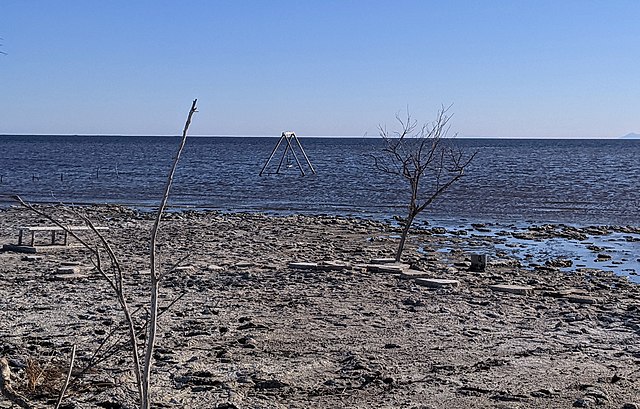
Bombay Beach is a census-designated place (CDP) in Imperial County, California, United States. It is located on the Salton Sea, 4 miles (6.4 km) west-southwest of Frink and is the lowest community in the United States, located 223 feet (68 m) below sea level. The population was 231 at the 2020 census, down from 295 in 2010, down from 366 in 2000. It is part of the El Centro, California, metropolitan statistical area.
Sign for Bombay Beach
Abandoned, salt-encrusted structures on the Salton Sea shore at Bombay Beach in 2004.
The ZigZag House
“The Water’s Fine, It’s Just Salty” by Ssippi.
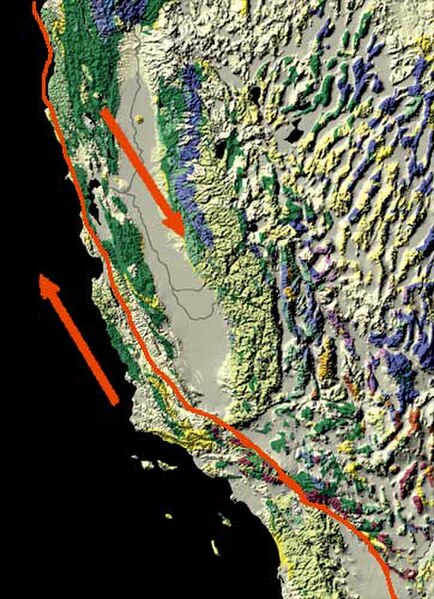
The San Andreas Fault is a continental right-lateral strike-slip transform fault that extends roughly 1,200 kilometers (750 mi) through the U.S. state of California. It forms part of the tectonic boundary between the Pacific Plate and the North American Plate. Traditionally, for scientific purposes, the fault has been classified into three main segments, each with different characteristics and a different degree of earthquake risk. The average slip rate along the entire fault ranges from 20 to 35 mm per year.
The fault (right) and the Carrizo Plain (left)
Arrows show relative motion of the North American Plate (southeastward) and the Pacific Plate (northwestward)
Aerial photo of the San Andreas Fault in the Carrizo Plain
The Vasquez Rocks in Agua Dulce, California are evidence of the San Andreas Fault and part of the 2,650-mile Pacific Crest Trail.


