The Bonneville Salt Flats are a densely packed salt pan in Tooele County in northwestern Utah, United States. A remnant of the Pleistocene Lake Bonneville, it is the largest of many salt flats west of the Great Salt Lake. It is public land managed by the Bureau of Land Management and is known for land speed records at the Bonneville Speedway. Access to the Flats is open to the public.
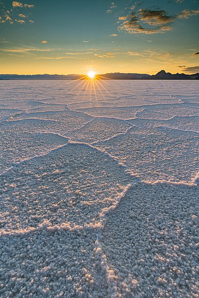
Sunset at the Bonneville Salt Flats in 2015. Unique hexagon patterns are formed by the freezing and thawing of brackish waters.
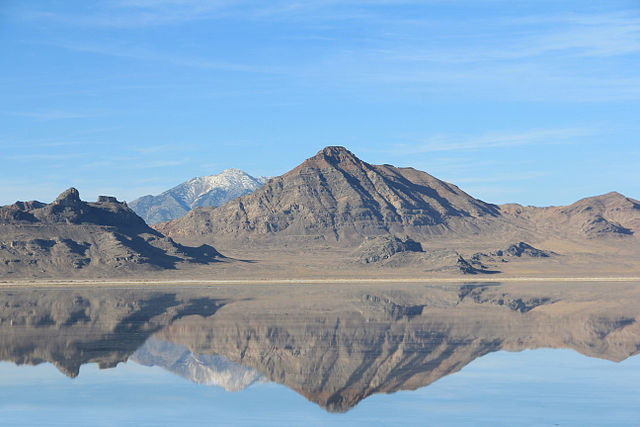
Bonneville Salt Flats during the winter has about 1 inch of water on it. (Rishel Peak shown).
Aerial view of the Bonneville Salt Flats in 2015; the race track is located in the upper left
Visitors at the Bonneville Salt Flats
Tooele County is a county in the U.S. state of Utah. As of the 2020 United States Census, the population was 72,698. Its county seat and largest city is Tooele. The county was created in 1850 and organized the following year.
Tooele County Courthouse and City Hall in Tooele, Utah.
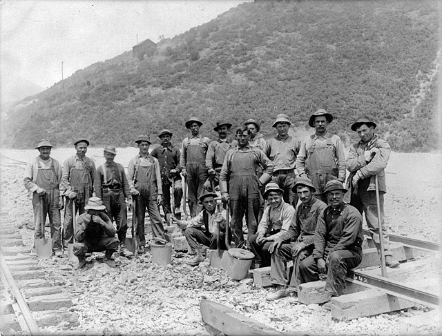
Minerals discovered in Tooele County led to a population boom.
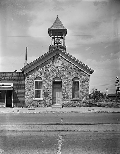
The old Tooele County Courthouse was site of a political power struggle in 1874.