Bourke is a town in the north-west of New South Wales, Australia. The administrative centre and largest town in Bourke Shire, Bourke is approximately 800 kilometres (500 mi) north-west of the state capital, Sydney, on the south bank of the Darling River. it is also situated:137 kilometres south of Barringun and the Queensland – New South Wales Border
256 kilometres south of Cunnamulla
454 kilometres south of Charleville
Court house, former maritime court
A camel caravan in Bourke circa 1900
The old Towers Drug Company Building – built 1889–1890
Bourke Post Office – built 1880
Bourke Shire is a local government area in the Orana region of New South Wales, Australia. The Shire is located adjacent to the Darling River, which is known as the Barwon River upstream from Bourke; and located adjacent to the Mitchell Highway. The northern boundary of the Shire is located adjacent to the border between New South Wales and Queensland. The shire is a wool and beef producing area.
Bourke Shire
Bourke Shire Council sign, bordering with Brewarrina (2021).
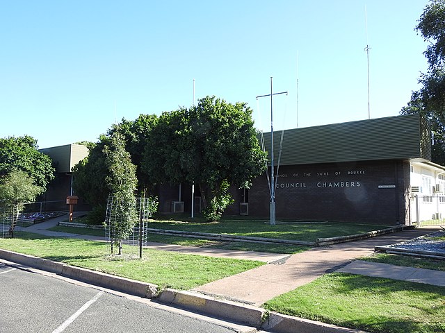
Bourke Shire Council chambers, Mitchell Street, Bourke (2021).