The Brantas is the longest river in East Java, Indonesia. It has a length of 320 km, and drains an area of over 11,000 km2 from the southern slope of Mount Kawi-Kelud-Butak, Mount Wilis, and the northern slopes of Mount Liman-Limas, Mount Welirang, and Mount Anjasmoro. Its course is semi-circular or spiral in shape: at its source, the river heads southeast, but gradually curves south, then southwest, west, then north, and finally it flows generally eastward at the point where it branches off to become the Kalimas and Porong River.
Brantas river, Kediri regency.
Lithography of Brantas river based on the painting by Abraham Salm (1865-1872)
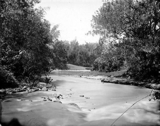
Brantas river before 1940
Brantas River in the area of Surabaya, early 20th century
East Java is a province of Indonesia located in the easternmost third of Java island. It has a land border only with the province of Central Java to the west; the Java Sea and the Indian Ocean border its northern and southern coasts, respectively, while the narrow Bali Strait to the east separates Java from Bali by around 2.29 kilometres (1.42 mi). Located in eastern Java, the province also includes the island of Madura, as well as the Kangean islands and other smaller island groups located further east and Masalembu archipelagos in the north. Its capital is Surabaya, the second largest city in Indonesia, a major industrial center and also a major business center. Banyuwangi is the largest regency in East Java and the largest on the island of Java.
Statues of Singhasari temple, circa 1910s
The Ampel Mosque in Surabaya, the oldest surviving mosque in Java and second oldest in Indonesia, was built in 1421.
Operation Transom, destroyed Tanjung Perak in 1944.
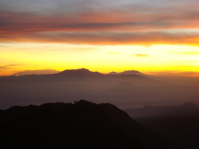
Eastern Salient of Java mountain range view from Bromo Tengger Semeru National Park at early morning