British Columbia
Videos
British Columbia is the westernmost province of Canada. Situated between the Pacific Ocean and the Rocky Mountains, the province has a diverse geography, with rugged landscapes that include rocky coastlines, sandy beaches, forests, lakes, mountains, inland deserts and grassy plains. British Columbia borders the province of Alberta to the east; the territories of Yukon and Northwest Territories to the north; the U.S. states of Washington, Idaho and Montana to the south, and Alaska to the northwest. With an estimated population of over 5.6 million as of 2024, it is Canada's third-most populous province. The capital of British Columbia is Victoria, while the province's largest city is Vancouver. Vancouver and its suburbs together make up the third-largest metropolitan area in Canada, with the 2021 census recording 2.6 million people in Metro Vancouver.
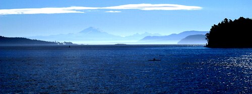
The Strait of Georgia, near Vancouver

Shuswap Lake as seen from Sorrento

The Okanagan region has a climate suitable for vineyards.

Mount Robson, Canadian Rockies
Alaska
Videos
Alaska is a non-contiguous U.S. state on the northwest extremity of North America. It borders the Canadian province of British Columbia and the Yukon territory to the east; it shares a western maritime border in the Bering Strait with Russia's Chukotka Autonomous Okrug. The Chukchi and Beaufort Seas of the Arctic Ocean lie to the north and the Pacific Ocean lies to the south. Technically a semi-exclave of the U.S., it is the largest exclave in the world.

The Russian settlement of St. Paul's Harbor (present-day Kodiak town), Kodiak Island, 1814

Miners and prospectors climb the Chilkoot Trail during the 1898 Klondike Gold Rush.

U.S. troops navigate snow and ice during the Battle of Attu in May 1943.
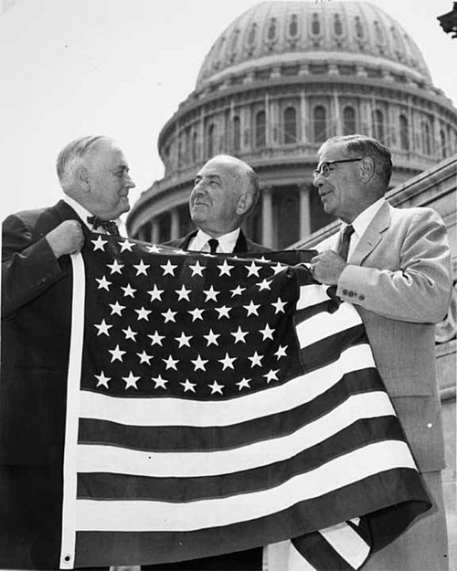
Bob Bartlett and Ernest Gruening, Alaska's inaugural U.S. Senators, hold the 49 star U.S. Flag after the admission of Alaska as the 49th state.