Brooklyn Bridge Park
Videos
Page
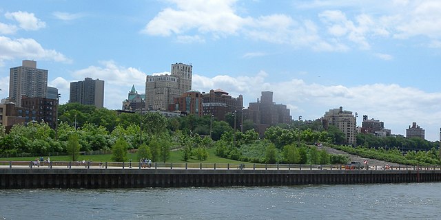
Brooklyn Bridge Park is an 85-acre (34 ha) park on the Brooklyn side of the East River in New York City. Designed by landscape architecture firm Michael Van Valkenburgh Associates, the park is located on a 1.3-mile (2.1 km) plot of land from Atlantic Avenue in the south, under the Brooklyn Heights Promenade and past the Brooklyn Bridge, to Jay Street north of the Manhattan Bridge. From north to south, the park includes the preexisting Empire–Fulton Ferry and Main Street Parks; the historic Fulton Ferry Landing; and Piers 1–6, which contain various playgrounds and residential developments. The park also includes Empire Stores and the Tobacco Warehouse, two 19th-century structures, and is a part of the Brooklyn Waterfront Greenway, a series of parks and bike paths around Brooklyn.

View of the park from the Manhattan Bridge, 2019
Pier 1
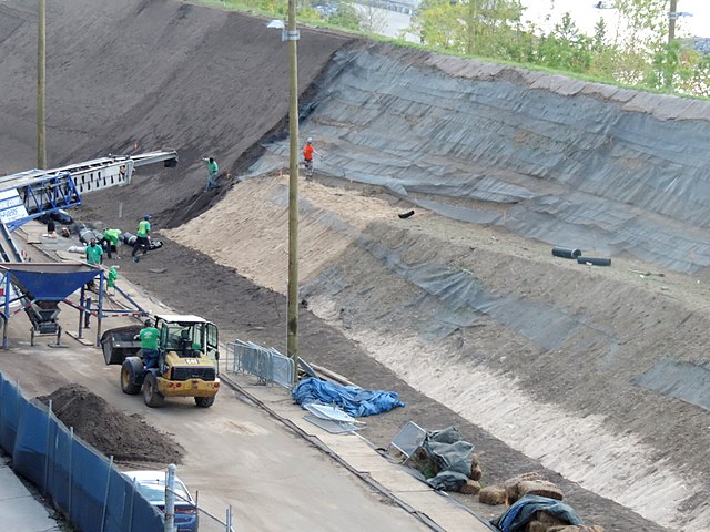
Under construction (September 2014)
Pier 1, Brooklyn Bridge Park (January 2010)
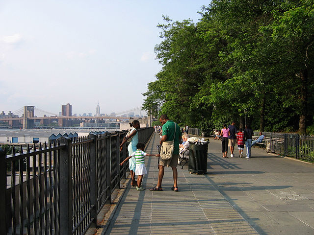
Brooklyn Heights Promenade
Videos
Page
The Brooklyn Heights Promenade, also called the Esplanade, is a 1,826-foot (557 m)-long platform and pedestrian walkway cantilevered over the Brooklyn-Queens Expressway in Brooklyn Heights, Brooklyn, New York City, United States. With views of Lower Manhattan's skyline and the New York Harbor, it came about as the byproduct of competing proposals for the highway's route that were resolved in the midst of World War II. Actual construction came after the war. As a structure built over a roadway, the Promenade is owned by the NYCDOT and is not considered a park; however, NYC Parks maintains the entire Promenade.
Brooklyn Heights Promenade in 2006
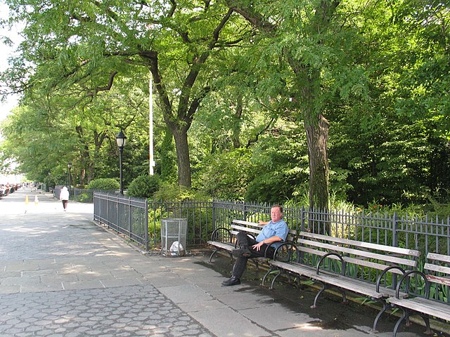
A man sitting on a bench on the Promenade
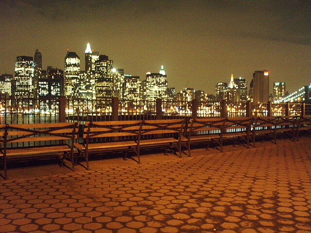
The view from the Promenade at night
The Promenade from Manhattan, with the East River in the foreground