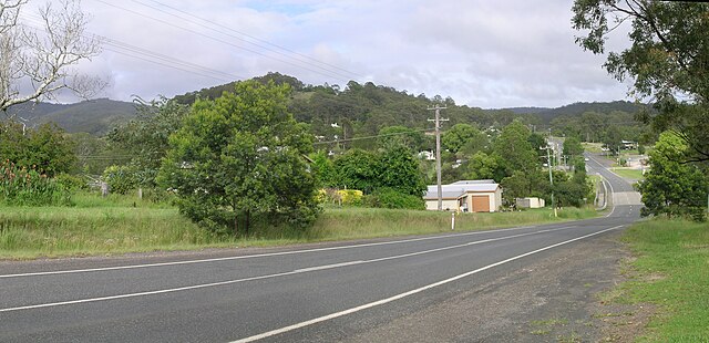
Bruxner Highway, and its former western alignment as Bruxner Way, are a 420-kilometre (260 mi) state highway and rural road respectively, located in New South Wales, Australia. The route forms an east–west link across the Northern Tablelands in northern New South Wales, close to the border with Queensland, to the Northern Rivers coast. It was named after Michael Bruxner, NSW Minister for Transport from 1932 to 1941.
Bruxner Highway
Northern Rivers is the most northeasterly region of the Australian state of New South Wales, located between 590 and 820 kilometres north of the state capital, Sydney, and encompasses the catchments and fertile valleys of the Clarence, Richmond, and Tweed rivers. It extends from Tweed Heads in the north to the southern extent of the Clarence river catchment which lies between Grafton and Coffs Harbour, and includes the main towns of Tweed Heads, Byron Bay, Ballina, Kyogle, Lismore, Casino and Grafton. At its most northern point, the region is 102 kilometres (63 mi) south-southeast of the Queensland capital, Brisbane.
View south from Byron Bay, the most easterly point on mainland Australia
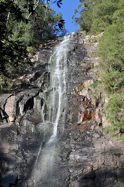
Protestors Falls in Nightcap National Park, 2013
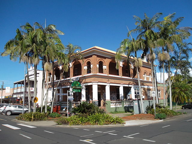
Old NSW Bank building in Mullumbimby, 2014
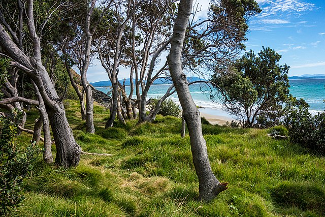
Coastal vegetation at Byron Bay, 2016


