Buffalo–Niagara Falls Metropolitan Area
The Buffalo–Niagara Falls Metropolitan Statistical Area is a metropolitan area, designated by the United States Census Bureau, encompassing two counties - Erie and Niagara - in the state of New York. It has a population of over 1.1 million people and is the second-largest metropolitan area in the state. As of the 2020 U S. census, the metropolitan statistical area (MSA) had a population of 1,166,902. The larger Buffalo Niagara Region is an economic zone consisting of eight counties in Western New York.
Buffalo skyline
Erie County is a county along the shore of Lake Erie in western New York State. As of the 2020 census, the population was 954,236. The county seat is Buffalo, which makes up about 28% of the county's population. Both the county and Lake Erie were named for the regional Iroquoian language-speaking Erie tribe of Native Americans, who lived in the area before 1654. They were later pushed out by the more powerful Iroquoian nations tribes. The county is part of the Western New York region of the state.
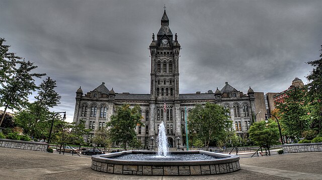
Image: Old County Hall Buffalo NY
Image: Canisius College Quad 2
Image: Sunset over the Erie Canal in North Tonawanda, NY
Image: Buffalo Botanical Gardens


