Burnet County is a county located on the Edwards Plateau in the U.S. state of Texas. As of the 2020 census, its population was 49,130. Its county seat is Burnet. The county was founded in 1852 and later organized in 1854. It is named for David Gouverneur Burnet, the first (provisional) president of the Republic of Texas. The name of the county is pronounced with the emphasis or accent on the first syllable, just as is the case with its namesake.
The Burnet County Courthouse in Burnet
Veterans Memorial at Burnet County courthouse
Rolling highway in Burnet County in Texas Hill Country toward Longhorn Cavern State Park
The Edwards Plateau is a geographic region forming the crossroads of Central, South and West Texas, United States. It is named in honor of Haden Edwards. It is bounded by the Balcones Fault to the south and east; the Llano Uplift and the Llano Estacado to the north; and the Pecos River and Chihuahuan Desert to the west. San Angelo, Austin, San Antonio and Del Rio roughly outline the area. The plateau, especially its southeast portion, is also known as the Texas Hill Country.
Edwards Plateau terrain as seen from U.S. Route 277 between Del Rio and Sonora
Enchanted Rock near Fredericksburg by Hermann Lungkwitz, 1864, oil on canvas
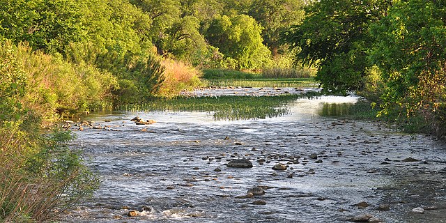
San Saba River near Sloan, San Saba County (9 May 2014)
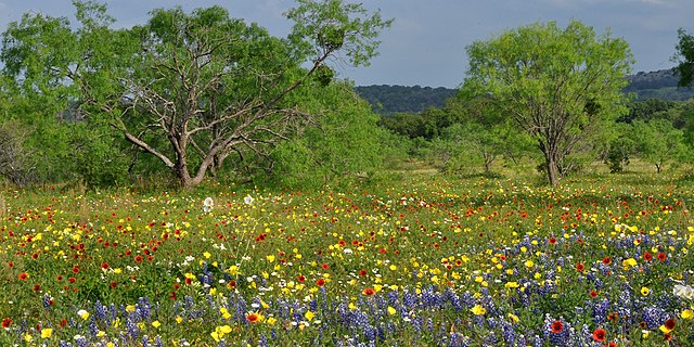
Wildflowers on ranchland, State Highway 965, Llano County (13 April 2012)


