Burnham Plan of Chicago
Videos
The Burnham Plan is a popular name for the 1909 Plan of Chicago coauthored by Daniel Burnham and Edward H. Bennett and published in 1909. It recommended an integrated series of projects including new

Diagram of a system of freight handling

Suggested docks at the mouth of the Chicago River

Suggested location and arrangement of railway passenger stations

Theoretical diagram of street circulation
The city of Chicago has many roads and expressways. Chicago also has a numbering system, used by both the city and neighboring suburbs, as well as many thoroughfares which pass through Chicago and nei
Burnham Plan of Chicago
…reference to Burnham's vision for the city, and to an aphorism posthumously attributed to him, the oft-quoted exhortation to "make no little plans." Roads and expressways in Chicago Burnham Plan of Manila…
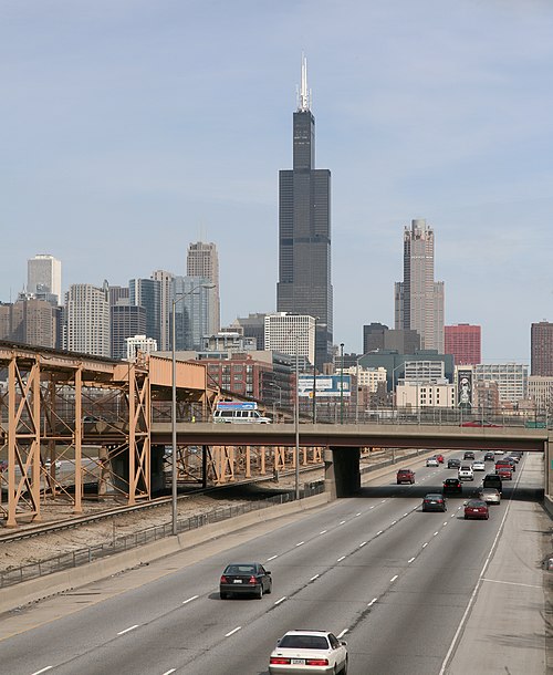
The Eisenhower Expressway crossing under Ashland Avenue, looking east toward downtown. The CTA's Blue Line travels along the median of the expressway.

Much of Chicago's street system follows a grid pattern.

The origin of Chicago's directional address system is at State Street - separating East (E) from West (W), and Madison Street - North (N) from South (S).

Sunset view of the Chicago Skyway tollbooths at the entrance to the Chicago southbound city limits