Bywater is a neighborhood of the city of New Orleans. A subdistrict of the Bywater District Area, its boundaries as defined by the City Planning Commission are: Florida Avenue to the north, the Industrial Canal to the east, the Mississippi River to the south, and the railroad tracks along Homer Plessy Way to the west. Bywater is part of the Ninth Ward of New Orleans. It includes part or all of Bywater Historic District, which is listed on the National Register of Historic Places.
The Mazant on Mazant Street in Bywater
The Ninth Ward or 9th Ward is a distinctive region of New Orleans, Louisiana, which is located in the easternmost downriver portion of the city. It is geographically the largest of the 17 Wards of New Orleans. On the south, the Ninth Ward is bounded by the Mississippi River. On the western or "upriver" side, the Ninth Ward is bounded by Franklin Avenue, then Almonaster Avenue, then People's Avenue. From the north end of People's Avenue the boundary continues on a straight line north to Lake Pontchartrain; this line is the boundary between the Ninth and the city's Eighth Ward. The Lake forms the north and northeastern end of the ward. St. Bernard Parish is the boundary to the southeast, Lake Borgne farther southeast and east, and the end of Orleans Parish to the east at the Rigolets.
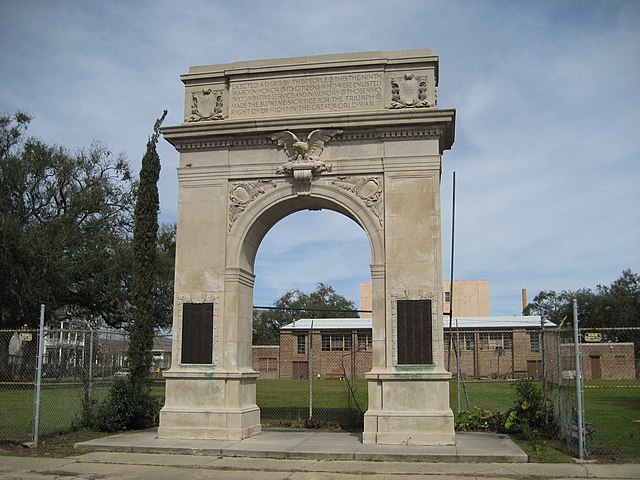
Monument arch specifically commemorating all 9th Warders who served in World War I is in the Bywater neighborhood of the 9th Ward
Flooding after Betsy, 1965
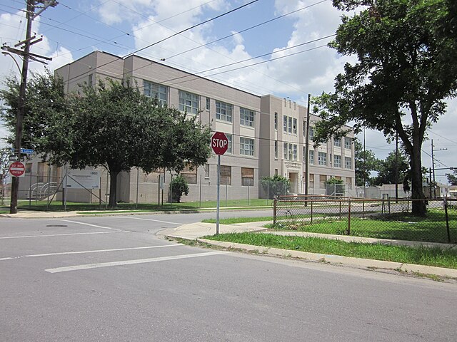
The school a young Ruby Bridges found herself integrating into at the peak of the Civil Rights Movement.
22 December 2005 view inland from the inner (southern) of the two major breaches in the lower side of the Industrial Canal levee & floodwall into the Lower 9th Ward, one of the more famous of the multiple levee failures which devastated much of the Ward at the time of Hurricane Katrina


