Caernarfon Castle is a medieval fortress in Gwynedd, north-west Wales. The first fortification on the site was a motte-and-bailey castle built in the late 11th century, which King Edward I of England began to replace with the current stone structure in 1283. The castle and town established by Edward acted as the administrative centre of north Wales, and as a result the defences were built on a grand scale. There was a deliberate link with Caernarfon's Roman past—nearby is the Roman fort of Segontium—and the castle's walls are reminiscent of the Walls of Constantinople.
The castle from across the River Seiont
Caernarfon Castle from the west. The town's walls, which were mostly complete by 1285, join with the castle and continue off to the left of the photo.
A painting of Caernarfon by J. M. W. Turner in 1830–1835
A painting of Caenarfon castle from the 18th century by Joseph Farrington
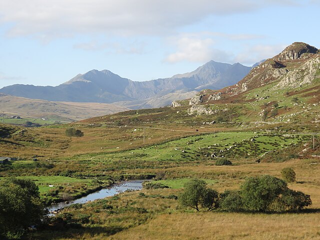
Gwynedd is a county in the north-west of Wales. It borders Anglesey across the Menai Strait to the north, Conwy, Denbighshire, and Powys to the east, Ceredigion over the Dyfi estuary to the south, and the Irish Sea to the west. The city of Bangor is the largest settlement, and the administrative centre is Caernarfon. The preserved county of Gwynedd, which is used for ceremonial purposes, includes the Isle of Anglesey.
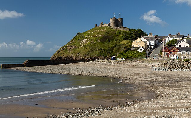
The castle and beach at Criccieth
Snowdon massif from Capel Curig
View of Tremadog Bay
T. E. Lawrence, 1918


