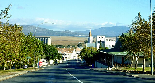
Caledon, originally named Swartberg, is a town in the Overberg region in the Western Cape province of South Africa, located about 100 kilometres (62 mi) east of Cape Town next to mineral-rich hot springs. As of 2011 it had a population of 13,020. It is located in, and the seat of, the Theewaterskloof Local Municipality.
Image: Caledon Western Cape South Africa (13634110363)
Image: 0000 Elim Mill Caledon s
Image: Bath River Bridge, Bell St, Caledon, South Africa
Image: Caledon town hall front
The Western Cape is a province of South Africa, situated on the south-western coast of the country. It is the fourth largest of the nine provinces with an area of 129,449 square kilometres (49,981 sq mi), and the third most populous, with an estimated 7 million inhabitants in 2020. About two-thirds of these inhabitants live in the metropolitan area of Cape Town, which is also the provincial capital. The Western Cape was created in 1994 from part of the former Cape Province. The two largest cities are Cape Town and George.
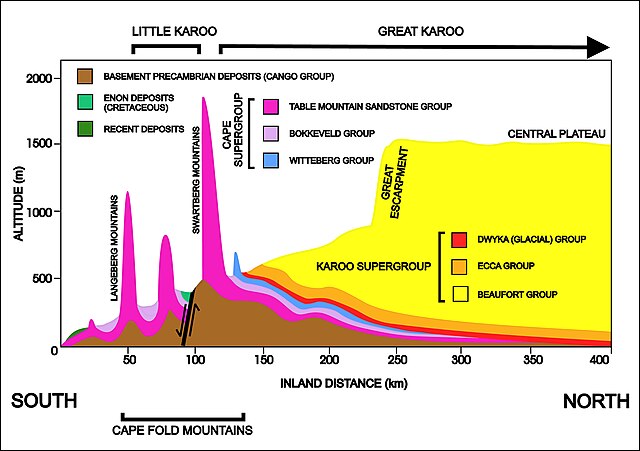
A diagrammatic 400 km south–north crosssection through the Cape at approximately 21° 30' E (i.e. near Calitzdorp in the Little Karoo), showing the relationship between the Cape Fold Mountains (and their geological structure) and the geology of the Little and Great Karoo, as well as the position of the Great Escarpment. The colour code for the geological layers is the same as those used in the diagram above. The heavy black line flanked by opposing arrows is the fault that runs for nearly 300 km along the southern edge of the
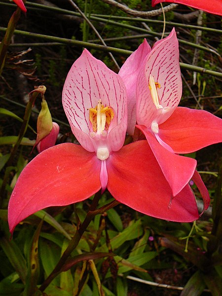
The Red Disa (disa uniflora) is an orchid endemic to the Western Cape. It is the province's official flower.
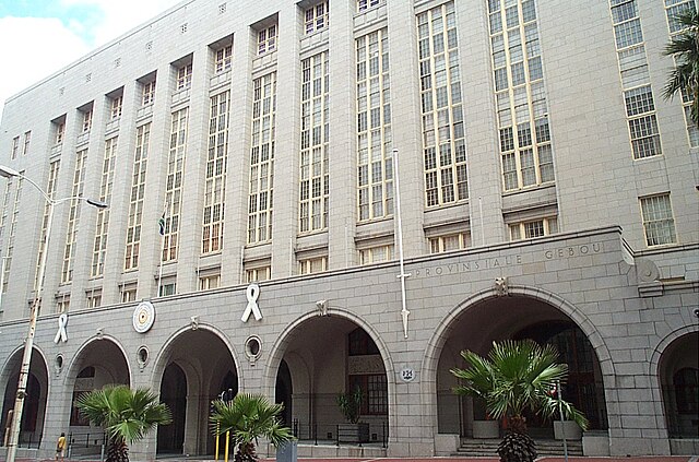
Provincial government headquarters in Cape Town
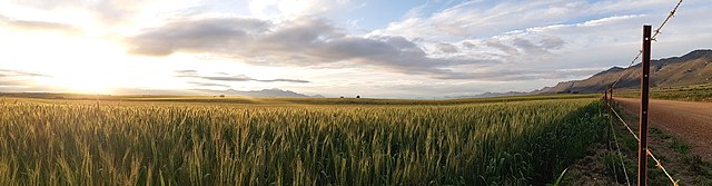
A wheat field near Porterville in the Bergriver Municipality. Wheat is a common agricultural crop in the area.