California State Route 17
State Route 17 is a state highway in the U.S. state of California that runs from State Route 1 in Santa Cruz to I-280 and I-880 in San Jose. SR 17, a freeway and expressway, carries substantial commuter and vacation traffic through the Santa Cruz Mountains at Patchen Pass between Santa Cruz and the San Francisco Bay Area.
Looking downhill from the Summit Road overpass; brake lights can be seen as cars slow down before the curve known as "Valley Surprise".
Gillian Cichowski Memorial Overcrossing.
State Route 1 (SR 1) is a major north–south state highway that runs along most of the Pacific coastline of the U.S. state of California. At 656 miles (1,056 km), it is the longest state route in California, and the second-longest in the US after Montana Highway 200. SR 1 has several portions designated as either Pacific Coast Highway (PCH), Cabrillo Highway, Shoreline Highway, or Coast Highway. Its southern terminus is at Interstate 5 (I-5) near Dana Point in Orange County and its northern terminus is at U.S. Route 101 (US 101) near Leggett in Mendocino County. SR 1 also at times runs concurrently with US 101, most notably through a 54-mile (87 km) stretch in Ventura and Santa Barbara counties, and across the Golden Gate Bridge.
Southbound PCH in Crystal Cove State Park near Laguna Beach
The Pacific Corporate Towers alongside PCH in El Segundo, California
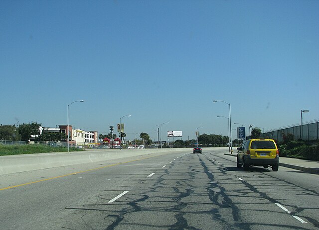
Southbound SR 1 near the intersection of Lincoln and Sepulveda Boulevards north of LAX
PCH passing Mugu Rock at Point Mugu


