Infinite photos and videos for every Wiki article · Find something interesting to watch in seconds
History
Page
Descending into Cholame westbound on SR 46. The Cholame Hills are visible in the distance.
The James Dean Memorial Junction, looking northeast, with SR 41 heading away from the camera
Page
Mount Hamilton
Mount Hamilton
View of Mt. Diablo from Concord. Main peak at right, North Peak at left, Mt. Zion at center (scroll image L/R to view)
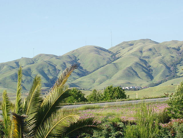
The south edge (mostly Monument Peak) of the Mission Ridge as seen from Milpitas.
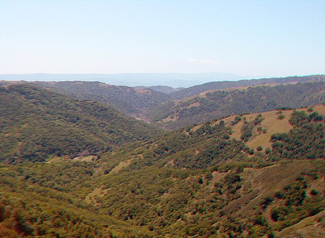
The southern end of Henry W. Coe State Park, near Gilroy