There are 34 routes assigned to the "S" zone of the California Route Marker Program, which designates county routes in California. The "S" zone includes county highways in Imperial, Orange, Riverside, San Diego, and Santa Barbara counties.

Buckman Springs Road and Old Highway 80

Bridge over Interstate 8

CR S1 Near Al Bahr Shrine Camp

Bridge over Cottonwood Creek
Pine Valley, California
Videos
Pine Valley is a community and census-designated place (CDP) in the Cuyamaca Mountains of the Mountain Empire area, in southeastern San Diego County, California. The population was 1,510 at the 2010 census, up from 1,501 at the 2000 census.
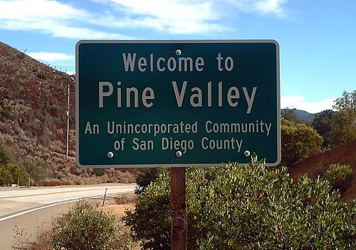
"Welcome to Pine Valley" sign

Downtown Pine Valley