The Caloosahatchee River is a river on the southwest Gulf Coast of Florida in the United States, approximately 67 miles (108 km) long. It drains rural areas on the northern edge of the Everglades, east of Fort Myers. An important link in the Okeechobee Waterway, a manmade inland waterway system of southern Florida, the river forms a tidal estuary along most of its course and has become the subject of efforts to restore and preserve the Everglades.
Caloosahatchee River
Ortona Lock and Dam on the Caloosahatchee River, part of the Okeechobee Waterway, in Glades County, Florida
Seminole Gulf Railway spans the Caloosahatchee River near Tice, Florida.
The Midpoint Memorial Bridge spanning the river and connecting the cities of Cape Coral and Fort Myers (2008).
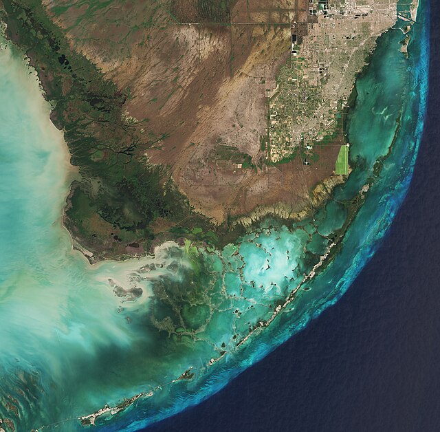
The Everglades is a natural region of flooded grasslands in the southern portion of the U.S. state of Florida, comprising the southern half of a large drainage basin within the Neotropical realm. The system begins near Orlando with the Kissimmee River, which discharges into the vast but shallow Lake Okeechobee. Water leaving the lake in the wet season forms a slow-moving river 60 miles (97 km) wide and over 100 miles (160 km) long, flowing southward across a limestone shelf to Florida Bay at the southern end of the state. The Everglades experiences a wide range of weather patterns, from frequent flooding in the wet season to drought in the dry season. Throughout the 20th century, the Everglades suffered significant loss of habitat and environmental degradation.
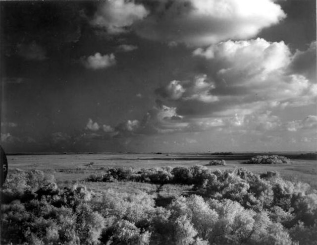
The most prominent feature of the Everglades are the sawgrass prairies found across the region.
A satellite image of the Everglades, taken in March 2019
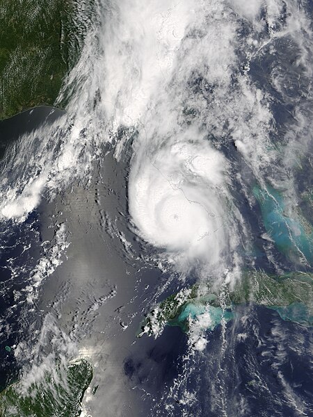
Hurricane Charley in 2004 moving ashore on South Florida's Gulf of Mexico coast
A storm over the Shark River in the Everglades, 1966


