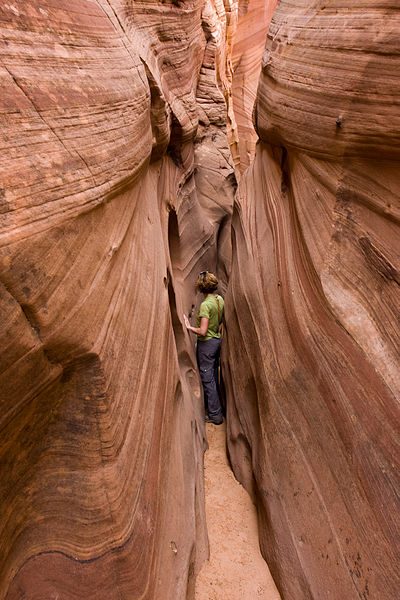
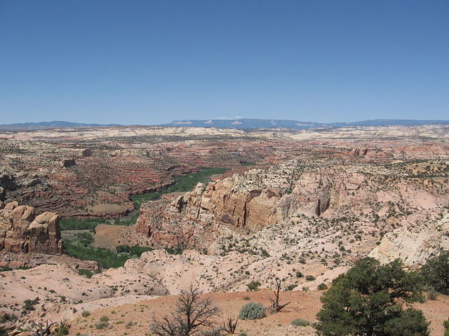
The Canyons of the Escalante is a collective name for the erosional landforms created by the Escalante River and its tributaries—the Escalante River Basin. Located in southern Utah in the western United States, these sandstone features include high vertical canyon walls, numerous slot canyons, waterpockets, domes, hoodoos, natural arches and bridges. This area—extending over 1,500 square miles (3,885 km2) and rising in elevation from 3,600 ft (1,097 m) to over 11,000 ft (3,353 m)—is one of the three main sections of the Grand Staircase–Escalante National Monument, and also a part of the Glen Canyon National Recreation Area, with Capitol Reef National Park being adjacent to the east.
Calf Creek Canyon
Zebra Canyon
Stevens Arch, near the mouth of Coyote Gulch
Canyon walls and stream-bed in Coyote Gulch
The Escalante River is a tributary of the Colorado River. It is formed by the confluence of Upper Valley and Birch Creeks near the town of Escalante in south-central Utah, and from there flows southeast for approximately 90 mi (140 km) before joining Lake Powell. Its watershed includes the high forested slopes of the Aquarius Plateau, the east slope of the Kaiparowits Plateau, and the high desert north of Lake Powell. It was the last river of its size to be discovered in the 48 contiguous U.S. states.
The average discharge is approximately 146 cfs.
View of part of the Escalante River, taken on July 4, 2022 from the International Space Station
Hiker crossing the Escalante during spring floods in 2005.
Escalante River gorge upstream from its confluence with Boulder Creek. The Aquarius Plateau is visible on the skyline.
The Escalante River near Escalante, Utah


