Capertee, New South Wales
Capertee pronounced is a village 46 km north of Lithgow, New South Wales, Australia. It is on an elevated site above the Capertee Valley. In 2016, the township had a population of 145 people. The Castlereagh Highway links Capertee with Lithgow to the south and Mudgee to the north. The township is surrounded by National Parks and grazing land. Principal employment is in coal mining, farming and tourism-related services. The Capertee Valley forms a part of the catchment area of the Hawkesbury River, but the village lies very close to the Great Divide watershed, with the Turon River catchment nearby to its west.
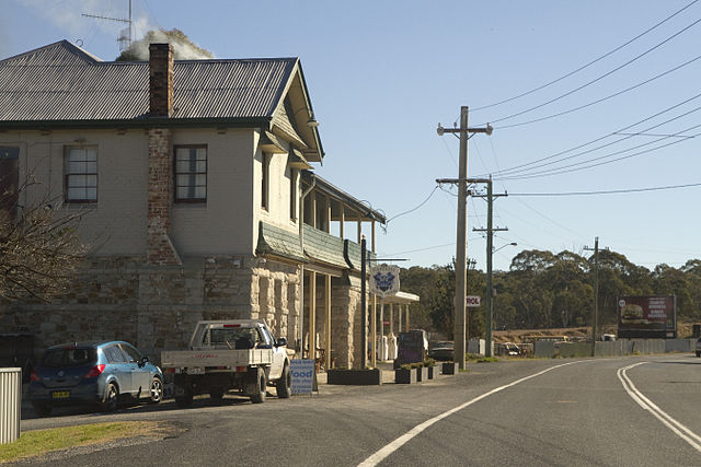
The Royal Hotel, Capertee.
The Great Dividing Range, also known as the East Australian Cordillera or the Eastern Highlands, is a cordillera system in eastern Australia consisting of an expansive collection of mountain ranges, plateaus and rolling hills. It runs roughly parallel to the east coast of Australia and forms the fifth-longest land-based mountain chain in the world, and the longest entirely within a single country. It is mainland Australia's most substantial topographic feature and serves as the definitive watershed for the river systems in eastern Australia, hence the name.
Great Dividing Range
The Great Dividing Range consists of a complex of mountain ranges, plateaus, upland areas and escarpments.
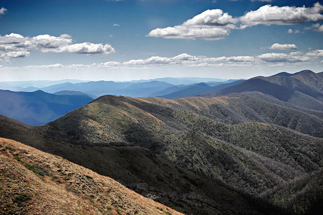
The Monaro Plains (top right) are drier than the verdant western upslopes (bottom left) as they lie in a rain shadow. (View of the Snowy Mountains region)
Great Dividing Range sign on the Kings Highway between Braidwood and Bungendore, New South Wales