The cartography of Jerusalem is the creation, editing, processing and printing of maps of Jerusalem from ancient times until the rise of modern surveying techniques. Most extant maps known to scholars from the pre-modern era were prepared by Christian mapmakers for a Christian European audience.
Image: Arculf De Locis Sanctis Jerusalem
Image: Umm ar Rasas Church of St. Stephen Jerusalem 2785
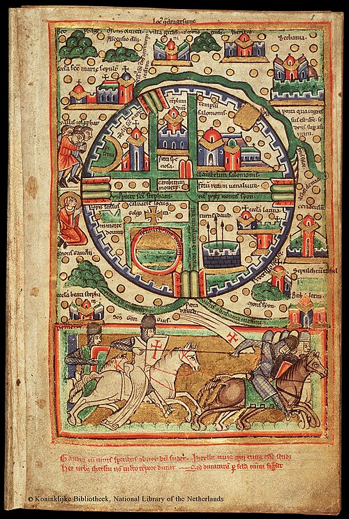
Image: Plan of Jerusalem, 12th Century. ca. 1200
Image: Jeruzalem, JW
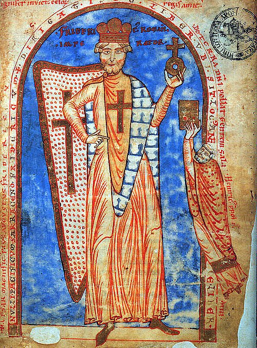
Ordnance Survey of Jerusalem
The Ordnance Survey of Jerusalem of 1864–65 was the first scientific mapping of Jerusalem, and the first Ordnance Survey to take place outside the United Kingdom. It was undertaken by Charles William Wilson, a 28-year-old officer in the Royal Engineers corps of the British Army, under the authority of Sir Henry James, as Superintendent of the Ordnance Survey, and with the sanction of George Robinson, 1st Marquess of Ripon as Secretary of State for War. The team of six Royal Engineers began their work on 3 October 1864. The work was completed on 16 June 1865, and the report was published on 29 March 1866.
Front page of the Ordnance Survey of Jerusalem, illustrated with the Chain Gate fountain. See full pdf of the Ordnance Survey here
Haram Ash Sharif