Cebrenia quadrangle
Videos
Page
The Cebrenia quadrangle is one of a series of 30 quadrangle maps of Mars used by the United States Geological Survey (USGS) Astrogeology Research Program. The quadrangle is located in the northeastern portion of Mars' eastern hemisphere and covers 120° to 180° east longitude and 30° to 65° north latitude. The quadrangle uses a Lambert conformal conic projection at a nominal scale of 1:5,000,000 (1:5M). The Cebrenia quadrangle is also referred to as MC-7. It includes part of Utopia Planitia and Arcadia Planitia.
The southern and northern borders of the Cebrenia quadrangle are approximately 3,065 km (1,905 mi) and 1,500 km (930 mi) wide, respectively. The north to south distance is about 2,050 km (1,270 mi). The quadrangle covers an approximate area of 4.9 million square km, or a little over 3% of Mars' surface area.
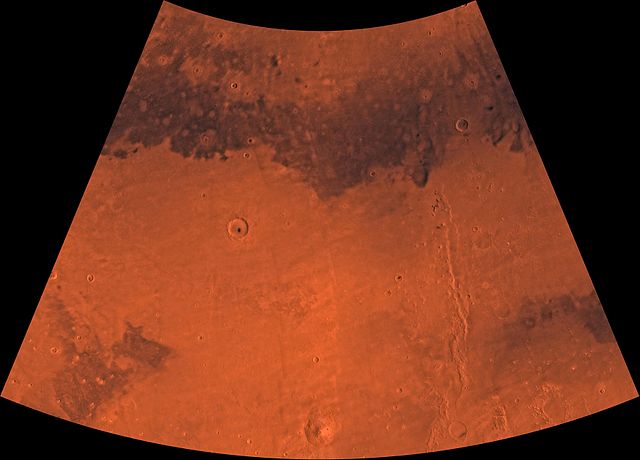
Image of the Cebrenia Quadrangle (MC-7). The northwest contains relatively smooth plains; the southeast contains Hecates Tholus (one of three Elysium shield volcanoes) and Phlegra Montes (a ridge system).

Image from Mars taken by Viking 2
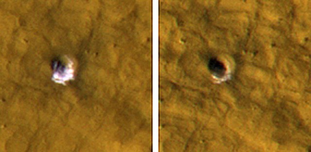
Two pictures from HiRISE showing how ice disappeared over time in a crater. Crater on left is before ice disappeared. Crater is 6 meters in diameter.
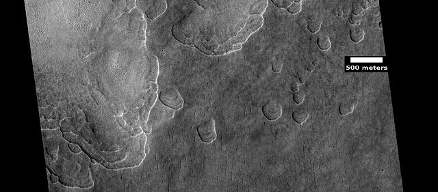
Kufra Crater Floor, as seen by HiRISE. Pits are thought to be caused by escaping water.
Utopia Planitia
Videos
Page
Utopia Planitia is a large plain within Utopia, the largest recognized impact basin on Mars and in the Solar System with an estimated diameter of 3,300 km (2,100 mi). It is the Martian region where the Viking 2 lander touched down and began exploring on September 3, 1976, and the Zhurong rover touched down on May 14, 2021, as a part of the Tianwen-1 mission. It is located at the antipode of Argyre Planitia, centered at 46.7°N 117.5°E. It is also in the Casius quadrangle, Amenthes quadrangle, and the Cebrenia quadrangle of Mars.

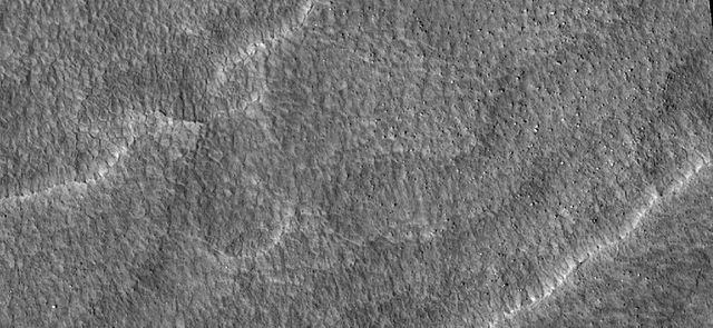
Martian terrain
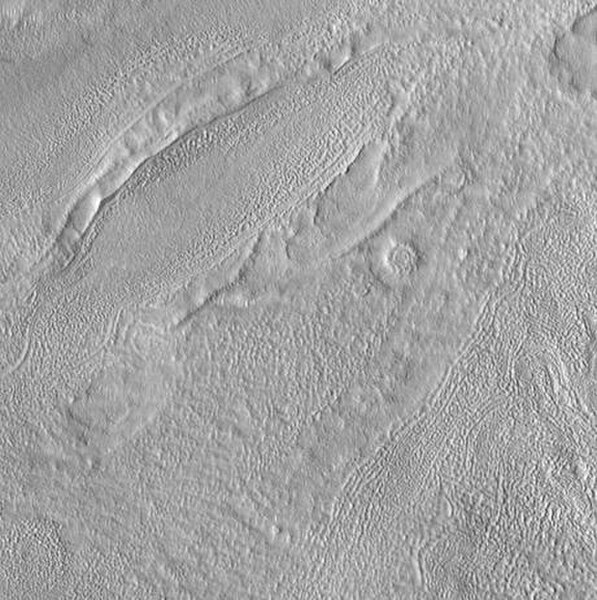
Scalloped ground, as seen by HiRISE under HiWish program. A study published in Icarus, found that the landforms of scalloped topography can be made by the subsurface loss of water ice by sublimation under current Martian climate conditions. Their model predicts similar shapes when the ground has large amounts of pure ice, up to many tens of meters in depth.
Close up of scalloped ground, as seen by HiRISE under HiWish program. Surface is divided into polygons; these forms are common where ground freezes and thaws. Note: this is an enlargement of a previous image.

Scalloped ground, as seen by HiRISE under HiWish program.