The Cesar-Ranchería Basin is a sedimentary basin in northeastern Colombia. It is located in the southern part of the department of La Guajira and northeastern portion of Cesar. The basin is bound by the Oca Fault in the northeast and the Bucaramanga-Santa Marta Fault in the west. The mountain ranges Sierra Nevada de Santa Marta and the Serranía del Perijá enclose the narrow triangular intermontane basin, that covers an area of 11,668 square kilometres (4,505 sq mi). The Cesar and Ranchería Rivers flow through the basin, bearing their names.
View of Valledupar in the basin
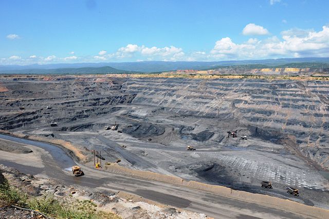
The tenth biggest coal mine in the world, Cerrejón, in the northeast of the basin
Cesar River
Ranchería River in Distracción
Bucaramanga-Santa Marta Fault
The Bucaramanga-Santa Marta Fault or Bucaramanga-Santa Marta Fault System is a major oblique transpressional sinistral strike-slip fault in the departments of Magdalena, Cesar, Norte de Santander and Santander in northern Colombia. The fault system is composed of two main outcropping segments, named Santa Marta and Bucaramanga Faults, and an intermediate Algarrobo Fault segment in the subsurface. The system has a total length of 674 kilometres (419 mi) and runs along an average north-northwest to south-southeast strike of 341 ± 23 from the Caribbean coast west of Santa Marta to the northern area of the Eastern Ranges of the Colombian Andes.
View of the Bucaramanga Fault along Bucaramanga
View of the Bucaramanga section of the fault east of Floridablanca, Santander


