Channeled Scablands
Videos
The Channeled Scablands are a relatively barren and soil-free region of interconnected relict and dry flood channels, coulees and cataracts and the typically flat-lying basalt flows that remain after
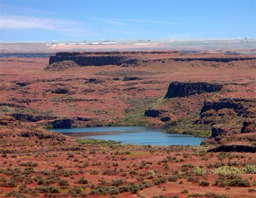
Drumheller Channels

View downstream of Park Lake Side Canyon, one of the channels which fed floodwaters to Grand Coulee
Missoula floods
Videos
The Missoula floods were a series of cataclysmic glacial lake outburst floods that swept periodically across the area that would become eastern Washington, northern Idaho and northern Oregon, and down
Channeled Scablands
…flows that remain after cataclysmic floods. They are located in the southeastern part of Washington state. The Channeled Scablands were scoured by more than 40 cataclysmic floods during the Last Glacial Maximum and innumerable older cataclysmic floods over the last two million years. These floods were periodically unleashed…
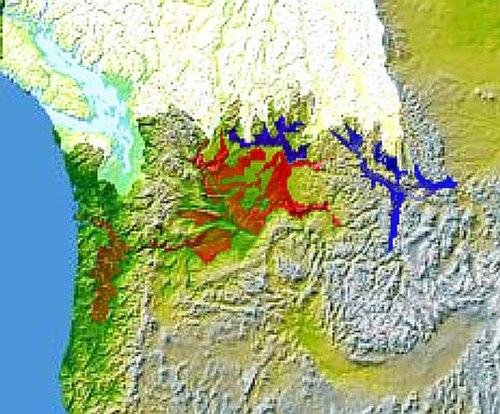
Glacial Lake Columbia (west) and Glacial Lake Missoula (east) are shown south of the Cordilleran ice sheet. The areas inundated in the Columbia and Missoula floods are shown in red.

Giant ripple marks at Markle Pass near Camas Hot Springs, Montana, U.S. View towards the northwest.

During the ice age floods, Dry Falls was under 300 feet (91 m) of water approaching at a speed of 65 miles per hour (105 km/h).

Glacial Lake Missoula high-water mark, 4,200 feet (1,280 m), near Missoula, MT