Chesapeake Bay Bridge–Tunnel
The Chesapeake Bay Bridge–Tunnel is a 17.6-mile (28.3 km) bridge–tunnel that crosses the mouth of the Chesapeake Bay between Delmarva and Hampton Roads in the U.S. state of Virginia. It opened in 1964, replacing ferries that had operated since the 1930s. A major project to dualize its bridges was completed in 1999, and in 2017 a similar project was started to dualize one of its tunnels.
Coming down from the high-level portion near the north end
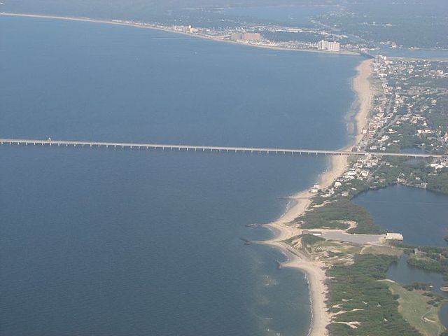
Aerial view of the Virginia Beach entrance to the bridge, facing east
View south entering the Thimble Shoal Channel Tunnel
Cargo ships line up to cross the bridge–tunnel complex at night
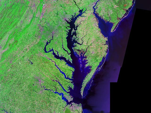
The Chesapeake Bay is the largest estuary in the United States. The Bay is located in the Mid-Atlantic region and is primarily separated from the Atlantic Ocean by the Delmarva Peninsula, including parts of the Eastern Shore of Maryland, the Eastern Shore of Virginia, and the state of Delaware. The mouth of the Bay at its southern point is located between Cape Henry and Cape Charles. With its northern portion in Maryland and the southern part in Virginia, the Chesapeake Bay is a very important feature for the ecology and economy of those two states, as well as others surrounding within its watershed. More than 150 major rivers and streams flow into the Bay's 64,299-square-mile (166,534 km2) drainage basin, which covers parts of six states and all of Washington, D.C.
A satellite image of Chesapeake Bay
View of the Eastern Bay in Maryland at sunset
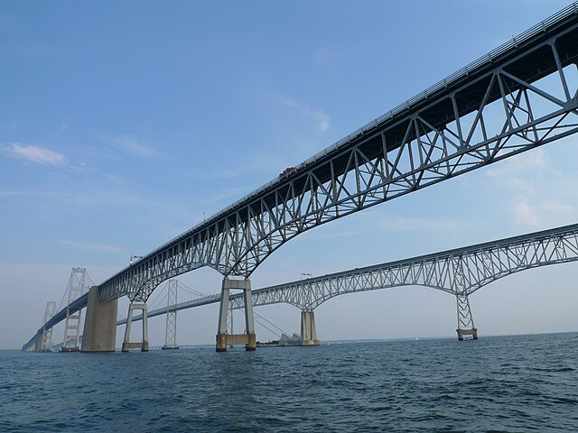
The Chesapeake Bay Bridge, near Annapolis, Maryland
The Bay viewed from a plane