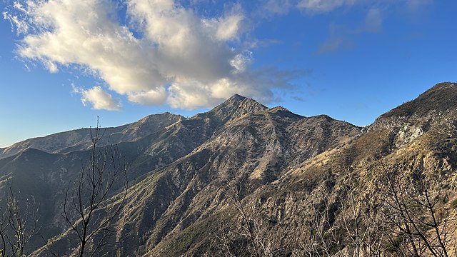
The Chews Ridge Lookout is located at the northern end of the Santa Lucia Range of the Los Padres National Forest, about 50 miles (80 km) southeast of Monterey, California and approximately 30 miles (48 km) west of Highway 101. The current tower was built in 1929 and staffed until around 1990. A volunteer organization began recruiting individuals to staff the tower in 2019. The ridge and tower were named for homesteaders Constantine and Nellie Chew, who patented 315 acres (127 ha) on the ridge in the late 19th century.
Color slide of Chews Ridge Lookout circa 1934
Cone Peak is the second highest mountain in the Santa Lucia Range in the Ventana Wilderness of the Los Padres National Forest. It rises nearly a vertical mile only 3 miles (4.8 km) from the coast as the crow flies. This is one of the steepest gradients from ocean to summit in the contiguous United States. The average gradient from sea level to summit is around 33%, which is steeper than the average gradient from Owens Valley to the summit of Mount Whitney. Near the mountain summit, the oak woodland and chaparral transitions to a pine forest with a few rare Santa Lucia Firs. Junipero Serra Peak at 5,865 feet (1,788 m) is the highest peak in the coastal region.
Decommissioned forest fire lookout on Cone Peak
Cone Peak (center) is visible from the Vicente Flat Trail


