The Central Valley, Intermediate Depression, or Longitudinal Valley is the depression between the Chilean Coastal Range and the Andes Mountains. The Chilean Central Valley extends from the border with Peru to Puerto Montt in southern Chile, with a notable interruption at Norte Chico. South of Puerto Montt the valley has a continuation as a series of marine basins up to the isthmus of Ofqui. Some of Chile's most populous cities lie within the valley including Santiago, Temuco, Rancagua, Talca and Chillán.
In this false colour satellite image the southern marine basins can be seen as a sea east of Chiloé Island and as the narrow Moraleda Channel that extends south towards the white Northern Patagonian Ice Field.
The Chilean Coastal Range is a mountain range that runs from north to south along the Pacific coast of South America parallel to the Andean Mountains, extending from Morro de Arica in the north to Taitao Peninsula, where it ends at the Chile Triple Junction, in the south. The range has a strong influence on the climate of Chile since it produces a rain shadow to the east. Because of this the vegetation growing on the seaward slopes is much more exuberant than in the interior. Compared to the coastal lowlands and the Intermediate Depression, it is sparsely populated with land use varying from protected areas to grazing and silviculture. The range is present in all Chilean regions, except for Coquimbo Region and Magallanes Region.
View from Cerro Oncol
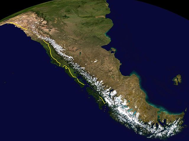
The eastern border of the Chilean Coast Range is marked with yellow. Uncertain borders are marked with dots.
Cerro Armazones, home of the E-ELT, is located in the Sierra Vicuña Mackenna.


