City Centre, Dundee
Videos
Photos
Until the industrial revolution, the current City Centre represented the full extent of the City of Dundee, Scotland. Now roughly encircled by the market gait dual carriageway, the city centre is now the main shopping and commercial district. Unlike the city centre of Glasgow, many of the city centre's streets are not built on a grid plan and in that way have more in common with the street plan of the Old Town of Edinburgh.

Dundee Parish Church, St Mary's is one of two of the city's City Churches

McManus Galleries houses a museum and art gallery with a collection of fine and decorative art as well as a natural history collection

360° view of Dundee City Centre seen from the High Street
Dundee
Videos
Photos
Dundee is the fourth-largest city in Scotland. The mid-year population estimate for 2016 was
148,210, giving Dundee a population density of 2,478/km2 or 6,420/sq mi, the second-highest in Scotland. It lies within the eastern central Lowlands on the north bank of the Firth of Tay, which feeds into the North Sea. Under the name of Dundee City, it forms one of the 32 council areas used for local government in Scotland. Within the boundaries of the historic county of Angus, the city developed into a burgh in the late 12th century and established itself as an important east coast trading port. Rapid expansion was brought on by the Industrial Revolution, particularly in the 19th century when Dundee was the centre of the global jute industry. This, along with its other major industries, gave Dundee its epithet as the city of "jute, jam and journalism".

Image: Dundee Skyline 2017

Image: V&A Dundee Near Completion Feb 2018 (Alex Liivet)
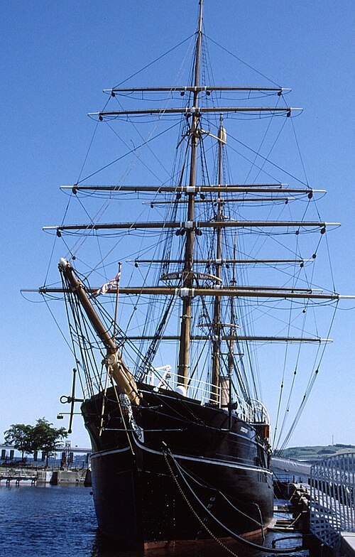
Image: RRS Discovery, Dundee geograph.org.uk 3746481

Image: Taybridge from law 02SEP05