College Hill Historic District (Providence, Rhode Island)
The College Hill Historic District is located in the College Hill neighborhood of Providence, Rhode Island. It was designated a National Historic Landmark District on December 30, 1970. The College Hill local historic district, established in 1960, partially overlaps the national landmark district. Properties within the local historic district are regulated by the city's historic district zoning ordinance, and cannot be altered without approval from the Providence Historic District Commission.
Benefit Street
College Hill, Providence, Rhode Island
College Hill is a historic neighborhood of Providence, Rhode Island, and one of six neighborhoods comprising the city's East Side. It is roughly bounded by South and North Main Street to the west, Power Street to the south, Governor Street and Arlington Avenue to the east and Olney Street to the north. The neighborhood's primary commercial area extends along Thayer Street, a strip frequented by students in the Providence area.
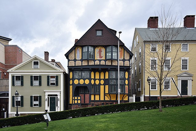
The Fleur-de-lys Studios (1885) and Deacon Taylor House (1785)
Early town layout of Providence. The plots are concentrated in the area now known as College Hill.
This 1795 engraving is the first known image of University Hall, built 1770-71, one of seven surviving American college buildings that date from the colonial period.
The Susan and William Huston House (1867) and First Unitarian Church (1816) on Benefit Street