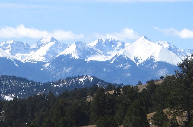
Columbia Point is a high mountain summit of the Crestones in the Sangre de Cristo Range of the Rocky Mountains of North America. The 13,986-foot (4,263 m) thirteener is located 5.5 miles (8.8 km) east by south of the Town of Crestone in Saguache County, Colorado, United States. The Crestones are a cluster of high summits in the Sangre de Cristo Range, comprising Crestone Peak, Crestone Needle, Kit Carson Peak, Challenger Point, Humboldt Peak, and Columbia Point.
The Crestone Group as seen from Mount Adams. From left to right: Crestone Needle, Crestone Peak, Columbia Point, Kit Carson Peak, Challenger Point.
The Sangre de Cristo Range is a mountain range in the Rocky Mountains in southern Colorado in the United States, running north and south along the east side of the Rio Grande Rift. The mountains extend southeast from Poncha Pass for about 75 mi (121 km) through south-central Colorado to La Veta Pass, approximately 20 mi (32 km) west of Walsenburg, and form a high ridge separating the San Luis Valley on the west from the watershed of the Arkansas River on the east. The Sangre de Cristo Range rises over 7,000 ft (2,100 m) above the valleys and plains to the west and northeast.
Sangre de Cristo Range seen from Hardscrabble Pass.
Seen from the San Luis Valley
Northern Sangre de Cristo Range seen from Coaldale, Colorado.


