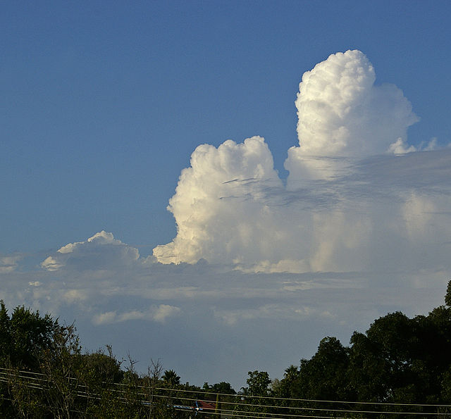
Cumulus congestus clouds, also known as towering cumulus, are a form of cumulus that can be based in the low or middle height ranges. They achieve considerable vertical development in areas of deep, moist convection. They are an intermediate stage between cumulus mediocris and cumulonimbus, sometimes producing showers of snow, rain, or ice pellets. Precipitation that evaporates before reaching the surface is virga.
An example of cumulus congestus clouds visible in the distance.
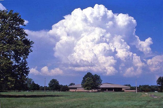
Cumulus congestus over Cahokia Mounds Museum, Collinsville, Illinois
An example of a Turkey tower in the distance
Cumulus clouds are clouds that have flat bases and are often described as puffy, cotton-like, or fluffy in appearance. Their name derives from the Latin cumulus, meaning "heap" or "pile". Cumulus clouds are low-level clouds, generally less than 2,000 m (6,600 ft) in altitude unless they are the more vertical cumulus congestus form. Cumulus clouds may appear by themselves, in lines, or in clusters.
Small cumulus humilis clouds that can have noticeable vertical development and clearly defined edges.
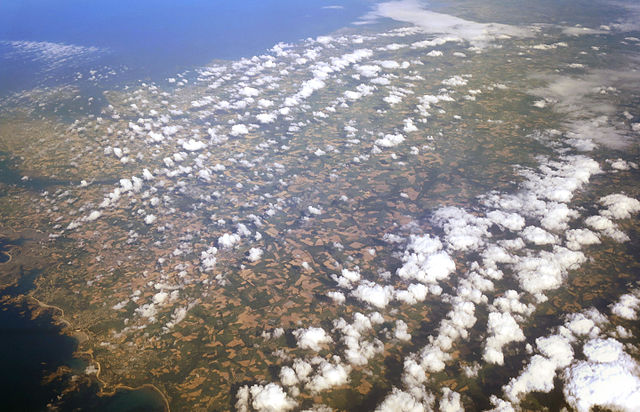
Cumulus clouds seen from above
Lines of Cumulus clouds over Brittany
Some cumulus mediocris clouds