DC Streetcar
Videos
Page
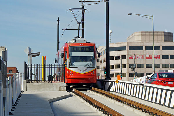
The DC Streetcar is a surface streetcar network in Washington, D.C. As of 2017, it consists of only one line: a 2.2-mile (3.5 km) segment running in mixed traffic along H Street and Benning Road in the city's Northeast quadrant.
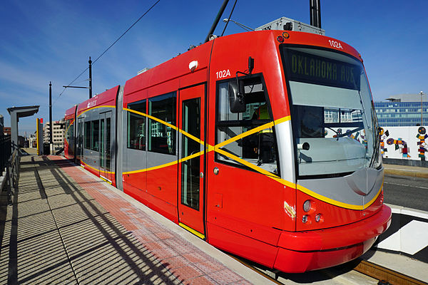
DC Streetcar at Union Station stop at the end of the H Street NE line

A United Streetcar-built streetcar to be used on the DC Streetcar system being tested along H Street NE in December 2014.

Construction of the H Street NE/Benning Road Line in October 2009
DC Streetcar at Union Station stop at the end of the H Street NE line.
Northeast (Washington, D.C.)
Videos
Page
Northeast is the northeastern quadrant of Washington, D.C., the capital of the United States. It encompasses the area located north of East Capitol Street and east of North Capitol Street.
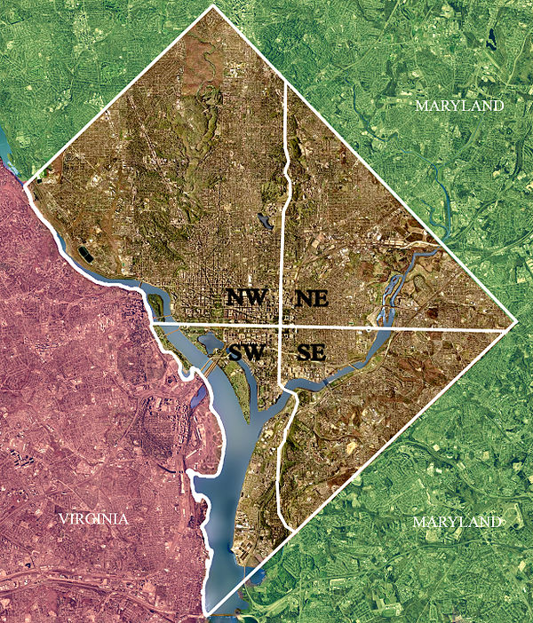
Color-enhanced 2002 USGS satellite image of Washington, D.C. The crosshairs in the image mark the quadrant divisions of Washington, D.C., with the United States Capitol at the center of the dividing lines. To the west of the Capitol is the National Mall, which is visible as a slight green band in the image. The Northwest quadrant is the largest, located north of the National Mall and west of North Capitol Street.

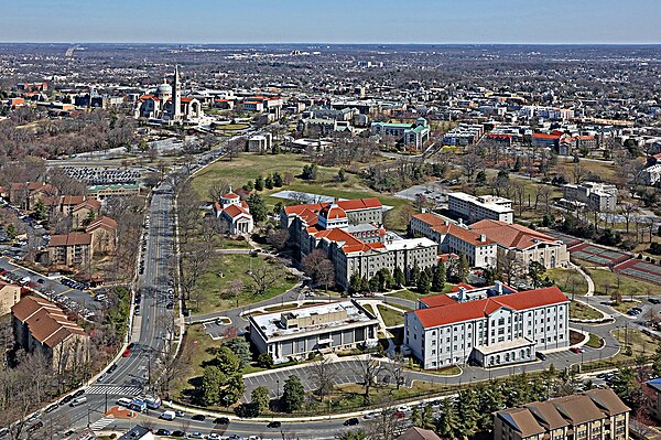
Gallaudet University
Trinity Washington University

Basilica of the National Shrine of the Immaculate Conception