Darling Downs
Videos
The Darling Downs is a farming region on the western slopes of the Great Dividing Range in southern Queensland, Australia. The Downs are to the west of South East Queensland and are one of the major regions of Queensland. The name was generally applied to an area approximating to that of the Condamine River catchment upstream of Condamine township but is now applied to a wider region comprising the Southern Downs, Western Downs, Toowoomba and Goondiwindi local authority areas. The name Darling Downs was given in 1827 by Allan Cunningham, the first European explorer to reach the area and recognises the then Governor of New South Wales, Ralph Darling.

The central business district of the region's largest city, Toowoomba

Aerial view of Bell, 2010
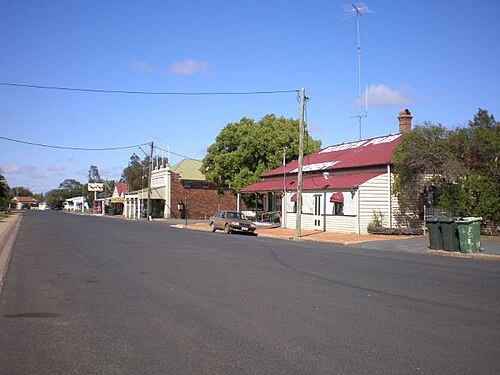
A wide street in the small town of Nobby

Jimbour House, 2011
Regions of Queensland
Videos
The Regions of Queensland refer to the geographic areas of the Australian state of Queensland. Due to its large size and decentralised population, the state is often divided into regions for statistical and administrative purposes. Each region varies somewhat in terms of its economy, population, climate, geography, flora and fauna. Cultural and official perceptions and definitions of the various regions differ somewhat depending on the government agency or popular group by which they are being applied.

Brisbane is the largest city in both the South East Queensland region and the state of Queensland.

The Gold Coast
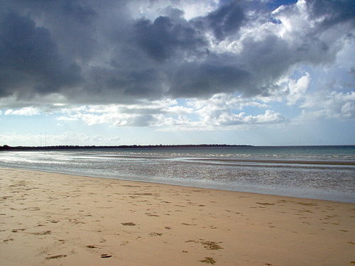
Hervey Bay is part of the Wide Bay–Burnett region

Tropical rainforests and beaches on Hinchinbrook Island