Dixie
Videos
Dixie, also known as Dixieland or Dixie's Land, is a nickname for all or part of the Southern United States. While there is no official definition of this region, or the extent of the area it covers, most definitions include the U.S. states below the Mason–Dixon line that seceded and comprised the Confederate States of America, almost always including the Deep South. The term became popularized throughout the United States by songs that nostalgically referred to the American South.

Bayou Navigation in Dixie, engraving of a Louisiana Steamboat, 1863
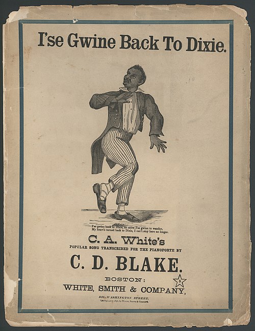
C.D. Blake's I'se Gwine Back To Dixie and other similar songs included the usage of Dixie nostalgically.
Alabama
Videos
Alabama is a state in the Southeastern region of the United States. It borders Tennessee to the north, Georgia to the east, Florida and the Gulf of Mexico to the south, and Mississippi to the west. Alabama is the 30th largest by area and the 24th-most populous of the 50 U.S. states.

The Moundville Archaeological Site in Hale County. It was occupied by Native Americans of the Mississippian culture from 1000 to 1450 CE.

The main house, built in 1833, at Thornhill in Greene County. It is a former Black Belt plantation.

Union Army troops occupying Courthouse Square in Huntsville, following its capture and occupation by federal forces in 1864

The developing skyline of Birmingham in 1915