Dominican Republic–Haiti border
The Dominican Republic–Haiti border is an international border between the Dominican Republic and the Republic of Haiti on the island of Hispaniola. Extending from the Caribbean Sea in the south to the Atlantic Ocean in the north, the 391 km border was agreed upon in the 1929 Dominican–Haitian border treaty.
The border can be seen from space due to the extensive deforestation on the Haitian side
Border Mark on the Haiti-Dominican Republic border
Dominican Republic border market in Dajabon.
View of border region between Dominican Republic and Haiti. The border runs horizontally through the middle of the picture.
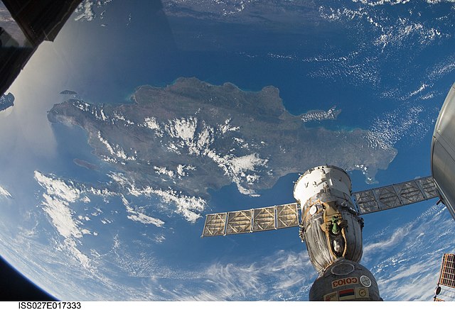
Hispaniola is an island in the Caribbean that is part of the Greater Antilles. Hispaniola is the most populous island in the West Indies, and the region's second largest in area, after the island of Cuba. The 76,192-square-kilometre (29,418 sq mi) island is divided into two separate nations: the Spanish-speaking Dominican Republic (48,445 km2 to the east and the French/Haitian Creole-speaking Haiti (27,750 km2 to the west. The only other divided island in the Caribbean is Saint Martin, which is shared between France and the Netherlands.
View from the ISS, 2011
Fortaleza Ozama
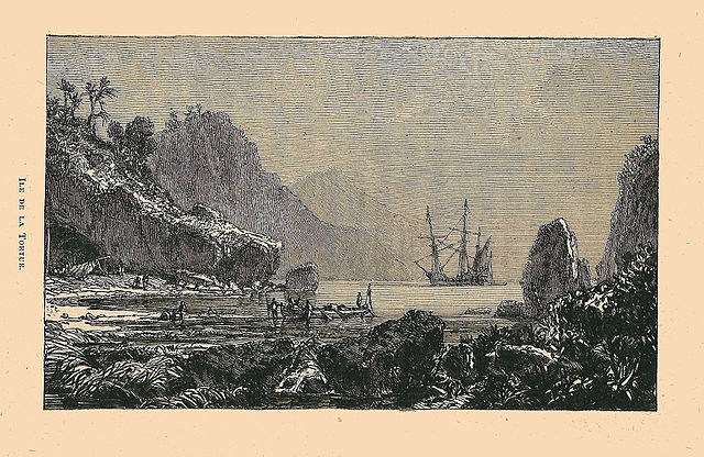
Ile de la Tortue (Tortuga island) made Hispaniola a center of pirate activity in the 17th century.
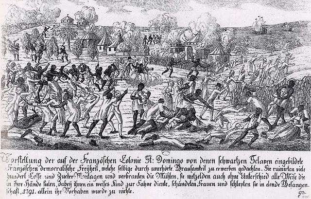
Saint-Domingue slave revolt in 1791


