The Dorset Cursus is a Neolithic cursus monument that spans across 10 km of the chalk downland of Cranborne Chase in east Dorset, United Kingdom. Its extreme length makes it a notable example of this class of linear earthwork; it is better interpreted as a pair of same-length cursus constructed end to end, with the more southerly cursus pre-dating the northerly one.
A view northeast from Gussage Down towards Bottlebush Down - the approximate course of the Cursus banks are superimposed in white. The round barrows on Wyke Down can be seen in the centre of the photo. The cursus has a slight change of direction as it climbs Bottlebush Down and it is thought that the original terminal of the cursus was at this point (and was later extended another 4.5 km north-east to Martin Down).
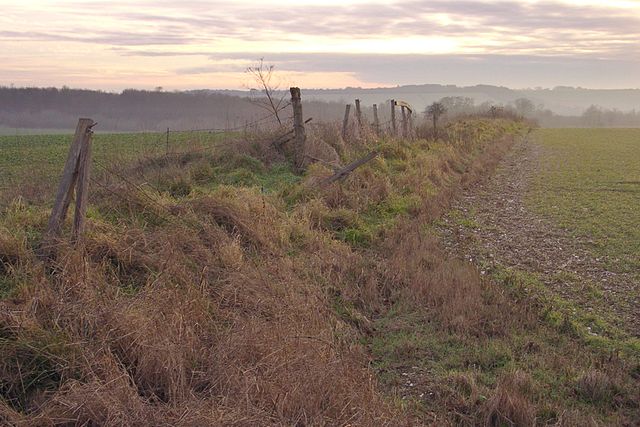
Most of the cursus earthworks have long since been destroyed and its course is only visible as soilmarks when conditions are favourable. Looking southwest from the edge of Salisbury Plantation, the course of the northern bank and ditch is visible as a dark stripe gently meandering down the hillslope (towards the right of this photo). The southern bank is just inside the field boundary (towards the left of the photo).
This long barrow at grid reference SU025169 is intimately related to the Dorset Cursus, in that it is incorporated into the northern bank. The barrow is very closely aligned with the Cursus (NE-SW) but its greater prominence would have made it clearly distinguishable from the bank. It is suggested that the barrow pre-dates the Cursus, and its direct inclusion into the structure of the Cursus implies a strong connection between the long barrows and the purpose of the Cursus.
A surviving section of the Cursus' southern bank on the ridge of Bottlebush Down (grid reference SU016163), at right angles to the B3081 road.
Cursuses are monumental Neolithic structures resembling ditches or trenches in the islands of Great Britain and Ireland. Relics found within them indicate that they were built between 3400 and 3000 BC, making them among the oldest monumental structures on the islands. The name 'cursus' was suggested in 1723 by William Stukeley, the antiquarian, who compared the Stonehenge cursus to a Roman chariot-racing track, or circus.
Stonehenge Cursus, Wiltshire
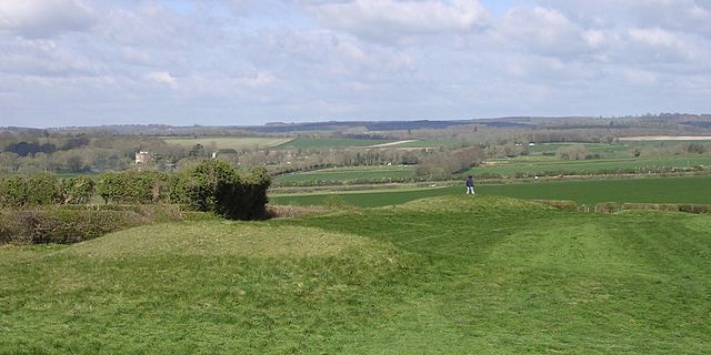
Dorset Cursus terminal on Thickthorn Down, Dorset
Tynwald Hill, Isle of Man


