Epifanio de los Santos Avenue, commonly referred to by its acronym EDSA, is a limited-access circumferential highway around Manila, the capital city of the Philippines. It passes through 6 of Metro Manila's 17 local government units or cities, namely, from north to south, Caloocan, Quezon City, San Juan, Mandaluyong, Makati, and Pasay.
EDSA in Guadalupe, Makati, looking north towards the Pasig River
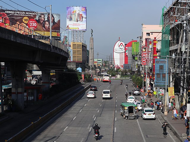
The northern terminus of EDSA at the Bonifacio Monument in Caloocan.
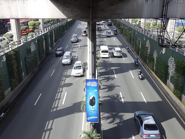
EDSA-Aurora Underpass in Cubao, Quezon City
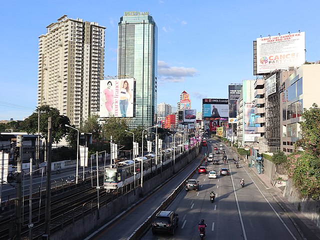
EDSA looking north to SM North EDSA
Metropolitan Manila, commonly shortened to Metro Manila and formally the National Capital Region, is the capital region and largest metropolitan area of the Philippines. Located on the eastern shore of Manila Bay, the region lies between the Central Luzon and Calabarzon regions. Encompassing an area of 619.57 km2 (239.22 sq mi) and with a population of 13,484,462 as of 2020, it is composed of sixteen highly urbanized cities: the capital city, Manila, Caloocan, Las Piñas, Makati, Malabon, Mandaluyong, Marikina, Muntinlupa, Navotas, Parañaque, Pasay, Pasig, Quezon City, San Juan, Taguig, and Valenzuela, along with one independent municipality, Pateros. As the second most populous and the most densely populated region in the Philippines, it ranks as the 9th most populous metropolitan area in Asia and the 6th most populous urban area in the world.
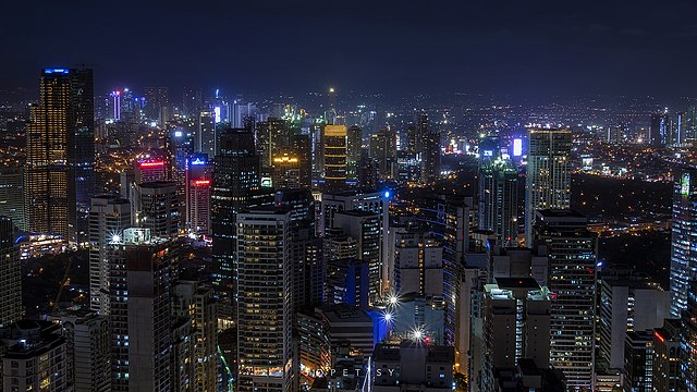
Image: Makati City Lights 2 (Jopet Sy) Flickr
Image: Fort Santiago, Intramuros
Image: Rizal Park from above
Image: Allan Jay Quesada Quezon Monument DSC 2689