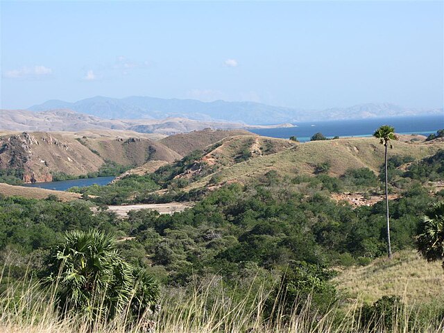
East Nusa Tenggara is the southernmost province of Indonesia. It comprises the eastern portion of the Lesser Sunda Islands, facing the Indian Ocean in the south and the Flores Sea in the north. It consists of more than 500 islands, with the largest ones being Sumba, Flores, and the western part of Timor; the latter shares a land border with the separate nation of East Timor. The province is subdivided into twenty-one regencies and the regency-level city of Kupang, which is the capital and largest city.
Padar Island near Komodo Island.
Komodo, one of the small islands in this province.
Komodo National Park.
The Lontar palm has high significance in local agriculture
The Lesser Sunda Islands, also known as Nusa Tenggara Islands, are an archipelago in Maritime Southeast Asia. Most of the Lesser Sunda Islands are located within the Wallacea region, except for the Bali province which is west of the Wallace Line and is within the Sunda Shelf. Together with the Greater Sunda Islands to the west they make up the Sunda Islands. The islands are part of a volcanic arc, the Sunda Arc, formed by subduction along the Sunda Trench in the Java Sea. Slightly over 20 million people live on the islands. Etymologically, Nusa Tenggara means "Southeast Islands" from the words of nusa which means 'island' from Old Javanese language and tenggara means 'southeast'.
Satellite picture of the Lesser Sunda Islands
Banta Island of Lesser Sunda Islands
Rinca island
Komodo dragon at Komodo National Park


