The East River is a saltwater tidal estuary or strait in New York City. The waterway, which is actually not a river despite its name, connects Upper New York Bay on its south end to Long Island Sound on its north end. It separates Long Island, with the boroughs of Brooklyn and Queens, from Manhattan Island, and from the Bronx on the North American mainland.
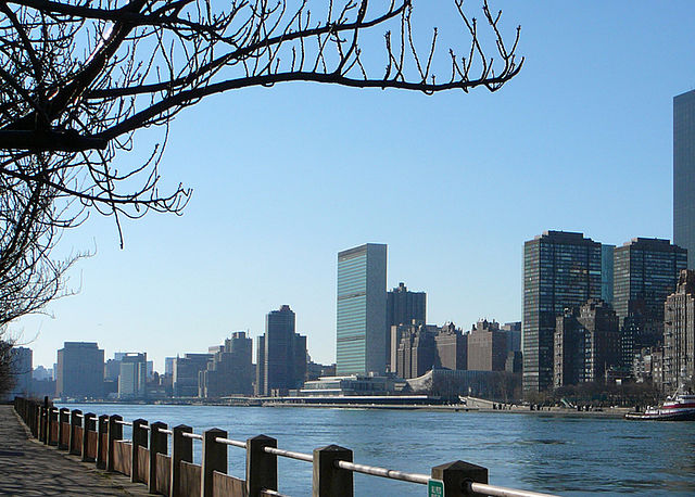
East River (foreground) and the headquarters of the United Nations in Manhattan (background) seen from Roosevelt Island in December 2006
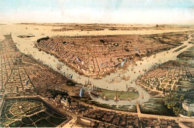
A "bird's-eye" view of New York City from 1859; Wallabout Bay and the East River are in the foreground, the Hudson River and New York Bay in the background
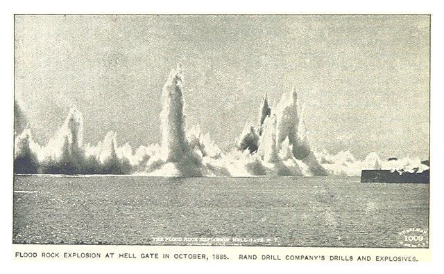
The 1885 explosion
A panorama of the suspension section of the Robert F. Kennedy Bridge (left) and the Hell Gate Bridge (right), as seen from Astoria Park in Queens
New York Harbor is at the mouth of the Hudson River where it empties into New York Bay near the East River tidal estuary, and then into the Atlantic Ocean on the East Coast of the United States.
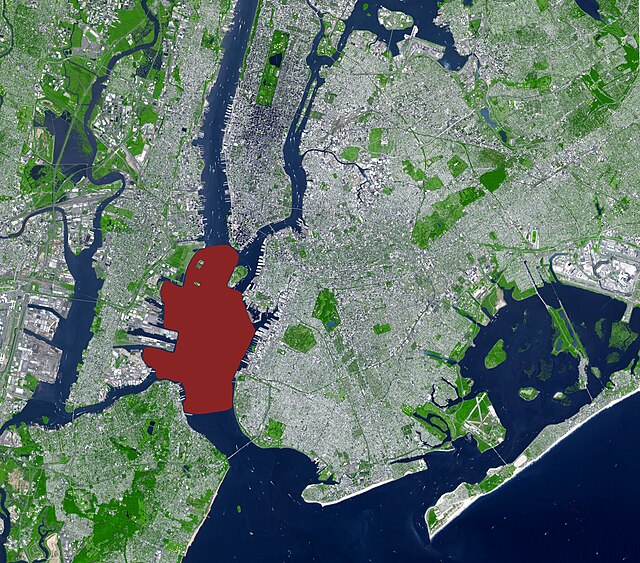
Upper New York Bay highlighted in red. It is connected to Lower New York Bay on the south by the Narrows. Ellis Island (north) and Liberty Island (south) are shown in the northwest corner of the bay.
New York Harbor and Upper New York Bay (right), Hudson River (lower left), and East River (upper left) in April 2013
Wallabout Bay and East River (foreground), Hudson River (at right), Upper New York Bay (left) and Newark Bay in the distance in April 1981
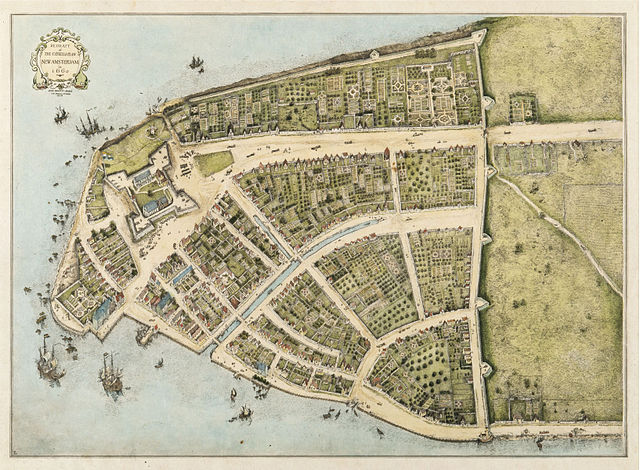
New Amsterdam, 1660: early East River docks along left bottom; protective wall against the British on right. West is at top. (Castello Plan redraft)

